|

Flood
Pictures
~Page 1~
Page 2 ~ Page
3
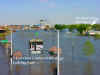
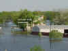
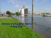
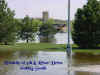
Photo's Taken April
27, 2001
For the ease of downloading this page
My pictures are shown here as "thumbnails"
~Just click on any picture to enlarge~
Then hit your Back Button to return to this page.
If you are interested in a picture that is text
free,
and is not watermarked, or optimized -
Please Email me.

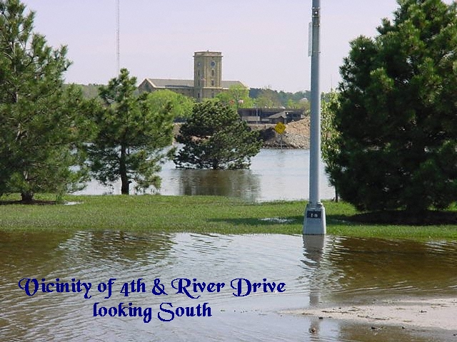
".....99% of the residents of Davenport live well uphill from the river. On
Tuesday, the day the flood waters crested, the sun was shining and I was
mowing my lawn, planting flowers, ........
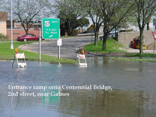
River Drive, also known as Highway 61 and Highway 67, is one of the five
busiest streets in Davenport, and provided an onramp, now closed, to one of
the two available bridges. That traffic has been rerouted, and tie-ups on
the alternative routes and bridges are pretty bad.
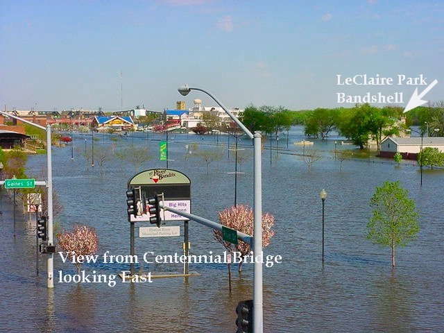
Relatively few of even the downtown businesses that are on the flood plain
are underwater, or even in danger. Those of us who do business downtown are
inconvenienced by the number of streets that have been barricaded -- we have
to find indirect routes to the banks or expo center or the library, and
there's less parking available. We don't complain about it, mind you, since
when we might otherwise be grumbling about having to pick our way around the
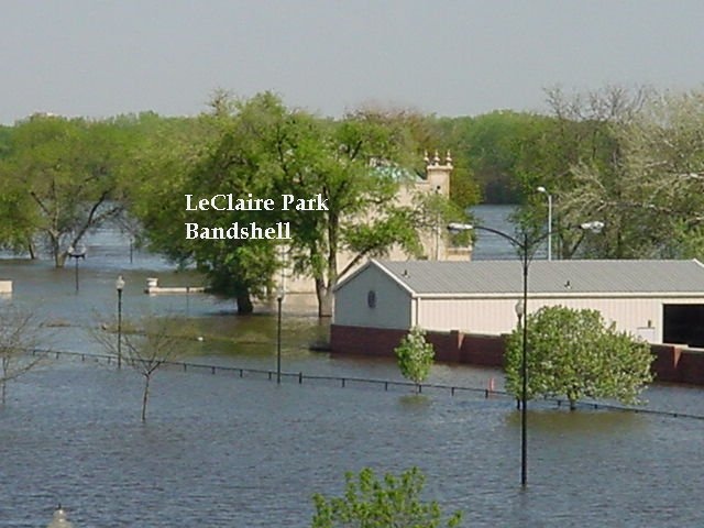
barriers, we have a clear view of the Dock restaurant, now an island, a
reminder of what serious inconvenience looks like.
In short, life goes on comfortably for most residents of Davenport, but
there's no way any of my far-flung friends would know that, based on the
incomplete reports of the media, whose focus, naturally,
is on great pictures and high drama.
Herein lies a cautionary tale about the nature of information. Every word
the reporters said was true. It was merely incomplete.
The cameras were steadily focused due south toward the river,
which means they missed three-fourths of the picture --
AS DO ANY OF US, even when we consciously strive for a
panoramic view. Had they turned their cameras northward, the TV audience
would have understood how unendangered most of us were,
because they would have seen a city built almost entirely on hills
that head upward at a forty degree gradient.
I suspect all our knowledge is similarly flawed and incomplete. Those who
search for answers, will find them -- but only to questions observers and
reporters of the past thought to ask and answer."
An Excerpt from "Moving Target"
written by Marylaine Block
Used By Permission.
This site was last updated
on:
05/07/01


|