| FLAGSTAFF AND THE SAN FRANCISCO PEAKS* Where are we on the AZT? This segment starts north of Mormon Lake on Highway #3 at the 82E turnoff to Ashurst Lake. From there, the trail heads northwest either through or around the city of Flagstaff area and then north to the majestic San Francisco Peaks. Approximately 38 miles. Route: Highway#3/Forest Rd 82E Junction to Sandy�s Canyon (14 miles): This stretch isn't too well signed but don't worry as it stays not too far east of the paved Hgwy #3 as it winds its way to Marshall Lake. It begins about 100 yards north of the junction of Hgwy #3 and FR 82E (the turnoff to the Pine Grove Campground {west} and Ashurst Lake {east}). From that point, the AZTrail leads to a large area in which weekend campers come from Phoenix to beat the heat. The occasionaly signed AZT route follows Forest Rd. #129A for 4 miles to the north and west of Horse Lake. The AZT route then leaves #129A and continues west for about 1 � miles where it comes upon the established AZT. Two miles on this path and the trail passes by the Perkins Telescope facility. There�s a signed trailhead on the north side of the facility. The easy-to-follow trail then heads north to Marshall Lake, passing through the Lake�s campground area and then continues west into Sandy�s Canyon. Sandy�s Canyon to Arizona Snow Bowl: After 2 miles of the northbound trail in Sandy�s Canyon, the trail splits and there are two routes for AZT hikers to choose. One leads directly to Flagstaff, AZ and the second (pointing towards Fisher Point) detours around the eastern side of Flagstaff, passing near the Walnut Canyon National Monument. The Monument is a very interesting side trip into the cliffside dwellings of the Sinagua people who lived in this area 1000 years ago. 1. Route into Flagstaff to AZ Snow Bowl (20 miles): There are no AZT route indicators on this route into Flagstaff. It is only about 4 miles to the Butler Avenue Interchange over Interstate 40. From the junction in Sandy�s Canyon, take the route that goes left in a mostly north and a little west direction. On the map the route is numbered 9114U but I don�t think it�s marked as such on the trail. The route passes the east side of Hoffman Tank, passes by some summer homes, crosses the trickle of water called Rio de Flag, and finally comes to Butler Avenue which leads to Little America Motel at Interstate 40. With such skimpy directions I�m not sure how I walked this route and surprisingly came out at Little America. (Because I've been asked this a few times, here's the north to south route out of downtown Flagstaff to the AZT: From the Amtrack station walk south on San Francisco St. for a couple of blocks and turn east on Butler. After another short walk, turn south on Lone Tree Rd and follow it until reaching the Flagstaff Urban Trail at Brannen Circle. It's signed and there's a little parking area. Follow the trail 1 1/2 miles east alongside a stream and under Interstate 40 until reaching a small sewage plant pond and building. On the south side of the pond is an Arizona Trail sign in front of the trail.) Once in Flagstaff the next destination is Buffalo Park on the opposite side of town. I suggest a night in funky downtown Flagstaff and then ask directions to Buffalo Park (it�s north of Forest Road on Gemini Drive, a couple of miles northeast of the downtown Amtrack Station). The goal from Buffalo Park is to get to the Shultz Tank parking lot on Shultz Pass Rd. Walk north through Buffalo Park to the pumphouse where nearby there�s a trailhead sign that points the way to the Lower Oldham Trail. The Lower Oldham Trail leads to the Elden Lookout Road. Turn right and walk about � mile to the Lower Brookbank Trail. Continue on that trail until turning left at a junction that leads past a lovely pond and to the Shultz Loop Trail (don�t take the Upper Brookbank Trail). Follow the loop trail to Shultz Pass Road and then walk � mile east to the Shultz Tank parking lot. On the north side of Shultz Pass road is the signed Weatherford Trail. Proceed north on it for 1� miles until reaching the Kachina trail junction. The Kachina Trail heads west through several beautiful aspen stands and five miles later ends at a parking lot. This is the first of several parking lots for the Arizona Snow Bowl ski area. Bundle up if you�re staying the night, the elevation is now over 9000�. 2. Walnut Canyon Monument/East Flagstaff Route (24 miles): If you�ve chosen the interesting, historical route to Walnut Canyon Monument versus the cold beer/hot Northern Arizona U. coed route, then you�re a certified hiker geek. From the Fisher point junction in Sandy�s Canyon, the trail sign points to Fisher Point less than a mile away. At Fisher Point, the AZT route continues east for about 2 � miles where it turns northeast and passes along the northern boundary of the Walnut Canyon National Monument. The trail then turns north and crosses Interstate 40 at Cosnino, goes under the railroad tracks and turns west following alongside the railroad tracks for about a mile. And then for the next 3-4 miles, the established trail is sporadic. It's there and then it isn't. It's frustrating. Keep hiking west and north. You will eventually get to Highway 89A. So the destination goal is now the Sandy Seep Trailhead on Highway #89, 1/4 mile north of Townsend Road. It's in the Flagstaff city limits so there's no overnight camping. But about 3 miles further there's the Little Elden Spring Horse Camp that when open offers a decent formal campsite. The Sandy Seep trail leads 3 miles to the Little Elden Trail and when the trail reaches FR #556, the Horse Camp is 1/4 mile north of that point. There's also a small trickle of water at FR# 556. But the AZT route stays on a good trail that heading westerly, just south of FR# 556, reaches Shultz Tank/Shultz Pass Road in just over another3 miles. On the north side of Shultz Pass road is the signed and popular Weatherford Trail. Proceed north on it for 1� miles until reaching the Kachina trail junction. The Kachina Trail heads west through several beautiful aspen stands and six miles later ends at a parking lot. This is the first of several parking lots for the Arizona Snow Bowl ski area. NOTE: The Arizona Trail will be be rerouted thru the San Francisco Peaks differently than above. When i find out I'll change the above. But the route along the Kachina Trail is super nice. Enjoy! Worthwhile Detours from the AZT: 1) Flagstaff; 2) Walnut Canyon National Monument; 3) Mt. Humphrey�s Peak, Arizona�s highest point at 12, 633�; and 4) the Snow Bowl Ski Lodge restaurant might be open for a cup of hot coffee. Places to Camp � This stretch is a dream to a backpacker looking for a campsite. Anywhere in this stretch is near ideal except in Flagstaff as it has plenty of motels. One ideal camp location is a pond a couple of miles southwest of Shultz Tank on the eastern edge of Dry Lake. Also, the established campsite at Marshall Lake must be decent as there were a lot of car campers in May 2001, tho it has no running water. And, at the northern end of the Kachina Trail there is a parking lot and then a second one across the paved road. The spectacular view from the second parking lot makes it another good area to throw down the sleeping bag. Length � 34-38 miles Power Rating � The Mormon Lake to Sandy�s Canyon is physically easy and the trail finding is moderate. Even the ascent up the San Francisco Peaks is a little short of difficult as the trails are very soft and easy to follow. Water* � Unfortunately there are no cool streams in this stretch, one of the few negatives for this segment. There are a couple of water tanks near Marshall Lake. The saving grace is this route is never too far from civilization, so water isn�t too far away. Bikeable? When I hiked through here, there were a lot of soft looking bicyclists in Sandy Canyon and some hard core mountain bikers on the trails north of Flagstaff. Actually this whole segment is pretty bike friendly except for the off limits Kachina Wilderness section on the Peaks. Permits � None needed Maps** � Write or call the Peaks Ranger Station (Brian Poturalski) 5075 N. Highway 89, Flagstaff, AZ 86004, 928-526-0866. Request the topo map copies on which they highlight the Arizona Trail through this entire area. Twenty-seven pages and they are all you�ll need in this section. Also, a Coconino National Forest Map, 928-527-3600, is helpful. Advice � This is a great segment to hike. Wonderful trails; Flagstaff has everything to offer; the Peaks are eye-catching beautiful from miles away; the highest point in Arizona, Humphrey�s Peak, is a must; and Walnut Canyon Monument is so interesting. Wow. And they are all along the Arizona Trail. Go for it! Cautions - Iin December 2001 there was a news story about the State Game and Fish having to shoot a 70-pound mountain lion in the Mount Elden area on the north side of Flagstaff through which the AZT passes. The big cat had attacked an unleashed dog and stalked several people in the area. Life on The AZT � Close to Flagstaff, this entire segment is very popular with the locals, NAU students and area visitors especially on the weekends. The plus is you�ll meet a number of people, some of whom can help with directions. The minus is you�ll meet a number of people, most likely graduate students, who can�t help at all with directions. * Remember just about all water sources are seasonal in Arizona. Check with as many sources as possible before entering an area, including the local National Forest Service. **(In addition to On the Arizona Trail guide book HOME EMAIL ME NEXT CHAPTER |
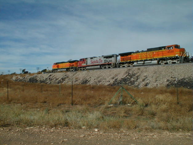
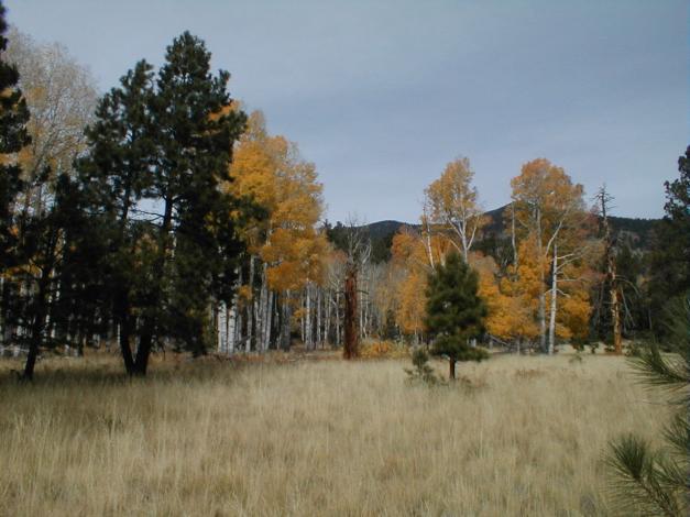
| L) Train near Cosnino Underpass R) Aspen and Pine along the Kachina Trail |
 |
 |