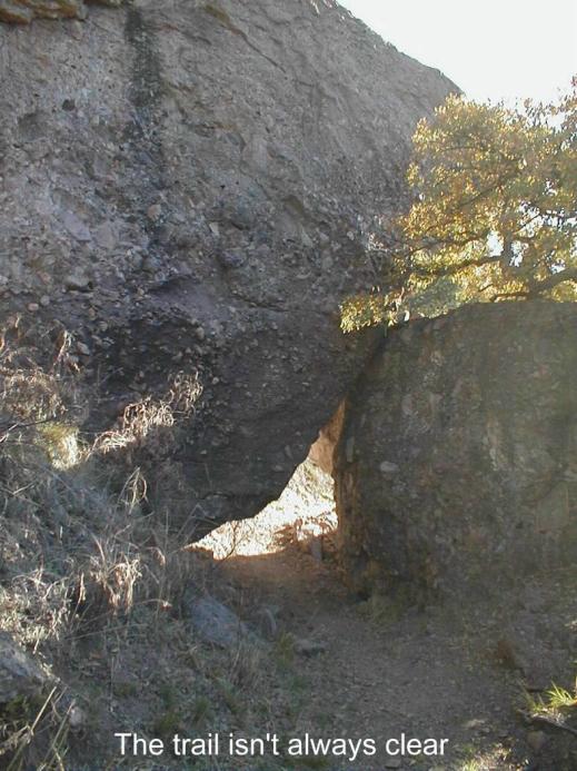
| THE SANTA RITA MOUNTAINS* Where are we at on the AZT? This segment starts in the town of Patagonia, AZ., proceeds west where it enters the Santa Rita Mountains and Wrightson Wilderness, passes through Kentucky Camp and ends at Oak Tree Canyon on Highway #83, milepost #43. Approximately 41 miles. Route: 1St. avenue in Patagonia, just south of the High School, leads northwest to the Santa Rita Mountains. Mt. Wrightson stares at you as you walk the 6-mile slightly up and down Gringo Gulch/FR #72 unpaved road to the Santa Rita Mountain Passage trailhead that enters Temporal Gulch. It�s an easy walk. After passing the trailhead signs at Temporal Gulch, the AZT, and still a very rough FR #72, is an ascending, bumpy jeep trail. It crosses several small streams before becoming a hiking trail. It passes a junction with Walker Basin Trail at about 13 miles from Patagonia and then climbs a steep incline to a saddle and a signed junction with the Chinaman Trail. At this point you are in the Wrightson Wilderness area and have put in a fair day�s hike. But if you continue east on the Chinaman Trail for a few more miles you�ll be rewarded with some great areas to camp that are near running water*, especially where the trail crosses Casa Blanca Creek (2-3 miles from the saddle). The AZT from Casa Blanca Creek continues its descent. The stream sings to you as you pass through this soothing area. High on the mountainside, it is beautiful with lots of colorful trees, bushes and plants. A couple of miles from Casa Blanca Creek, the AZT turns northeast, passes by a trough fed by Tunnel Spring and into Gardner Canyon and then follows FR #785 for a short distance. Along the well marked trail there are several interpretive signs. After 4 miles from #785, you pass the Gardner Canyon Road #92 and arrive at the Gardner Canyon trailhead and parking area. This is a popular spot for locals. In this area, as the trail approaches Kentucky Camp there are several informative, kinda technical signs that detail the ambitious plan to pipe water to the gold processing system at Ky. Camp. The hike from Gardner Canyon TH to Kentucky Camp is on a good trail, signed well and an easy hike. Kentucky Camp has tap water, toilets and hospitable camp hosts. You can camp there too at no charge if you are nice to the hosts. The AZT leaves KY Camp on an initially level jeep type road for 2-3 miles, passes near Granite Mountain, and enters terrain that is up and down for about a mile on a rough road, #165. I believe some small time mining goes on around here so it�s wise not to wander from the road/trail. The trail leaves the road (there�s a large AZT sign) and slowly works its way across gently sloping foothills into Enzenberg Canyon. The trail crosses FR 62, and soon comes upon well-used ATV trails. Follow them north for about a mile and then east for two miles into Oak Tree Canyon and to State Highway 83, mile marker #43. There�s no water along this section or in the Oak Tree Canyon area. There is a windmill on the ridge just south of Oak Tree Canyon. It appears to belong to the ranch about a mile south of the windmill. Worthwhile Detours from the AZT: Mt Wrightson offers a stiff side-trip challenge for those wishing to bag the peak of the Santa Rita Mountains. It towers overhead at 9,453�. And, the historic buildings at Kentucky Camp are worthwhile to tour, even if you don�t camp there. Places to Camp - Lots of good places. There are several decent areas heading up the mountain from the south. But, the best spots are heading down the Chinaman Trail and anywhere near FR #785 and the nearby stream. I particularly liked near Casa Blanca Creek. In the spring of 2001 there was plenty of water in this stretch too. Kentucky Camp is a good campsite because it has running water, toilets and friendly camp hosts. After Kentucky Camp there are many nice camp areas but no streams or ponds. Camp at Oak Tree Canyon? Well, see advice below. Length - 41 miles. You�ll love the AZT in the Santa Rita Mtns. Power Rating � Overall, this is probably a moderate hike but because it�s so lovely and such nice hiking, it seemed easy. Water* � In the spring of 2001, there were plenty of streams in the Santa Rita Mountains. The creek just past Temporal Gulch TH often has water, tho doubtful in the summer. Also, the trough at Tunnel Spring is pretty reliable. And there is running water at Kentucky Camp. But after Ky Camp, there�s no streamwater until reaching the Cienega Creek*, a distance of 17 miles. But, I believe the windmill and ranch south of Oak Tree Canyon might offer some hope. Bikeable? Some of this segment is bikeable. The 6-7 miles from the Gardner Canyon TH to Kentucky Camp is a nice ride. And then from Ky Camp to Highway #83, it's also another easy piece. Of course the road from Patagonia to the trailhead is bikeable but the climb up to the Wrightson Wilderness boundary would be very difficult. But then of course if you got that far, there�s no biking allowed in the Wilderness area. Permits � none needed Maps � 1. Coronado National Forest Map, Nogales and Sierra Vista Ranger Districts, 520-670-4552 2. Santa Rita Mtns., Arizona �Trail and Recreation Map, Rainbow Expeditions 520-298-2731 3. The ATA sells maps of most AZT segments - call 602-417-9300. Advice � Oak Tree Canyon is an inviting overnight camping spot or good place to begin a day hike. It is now closed to OHV's so other users can enjoy this tree lined area in relative quiet. I suggest a trip east from here over to the Las Cienegas Conservation area. Then historic ranch while not preserved very well is a worthwhile stop. And a few more more north is the green cottonwood lined Las Cienegas Creek.. Cautions - There are bears in the Santa Rita�s. A few weeks after I passed thru there in 2001, I read of a camper being attacked in Gardner Canyon. Don�t rub bacon grease on your backpack. Life on The AZT - Passenger cars can drive the dirt road to Kentucky Camp. The camp has a good historical tale that goes with the buildings and remnants of the former gold camps headquarters. Plus there�s a �Bed and No Breakfast� building that has beds, 2-3 rooms, electricity and a nice porch making for a good spot for people to enjoy the historical site. I believe the building rents for $50 a night. *Remember just about all water sources are seasonal in Arizona. Check with as many sources as possible before entering an area, including the local National Forest Service. HOME NEXT CHAPTER |
 |