 |
| Mojeska Canyon & The Harding Truck Trail |
 |
 |
 |
 |
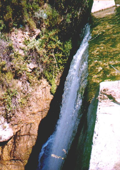
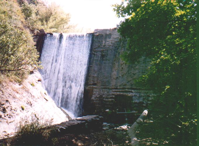
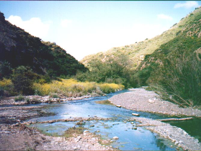
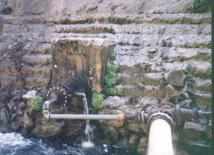
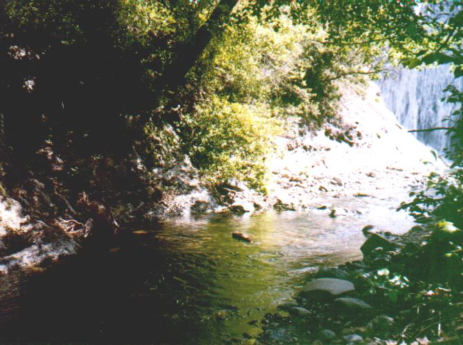
| This is the dam of the so-called Mojeska reservoir. You can actually walk the "reservoir" as these days it is a reservoir of dirt and sand to the top of the dam. I was fortunate enough to have happened upon it in the early spring and found it as you see it here. It is almost completely dry in the summer months. The dam is of multi-layered reinforced concrete poured sometime in the late 1940's. Above that funky valve and manifold assembly is the names of the original engineers who built the dam. The climb down to the base of the dam is a little tricky but worth the trip as you are rewarded with the mist of the fall and a shady wall to sit on. |
 |
 |
| I swear I have seen an 18" fish type creature swimming in the small pool at the base of the dam. |
 |
 |
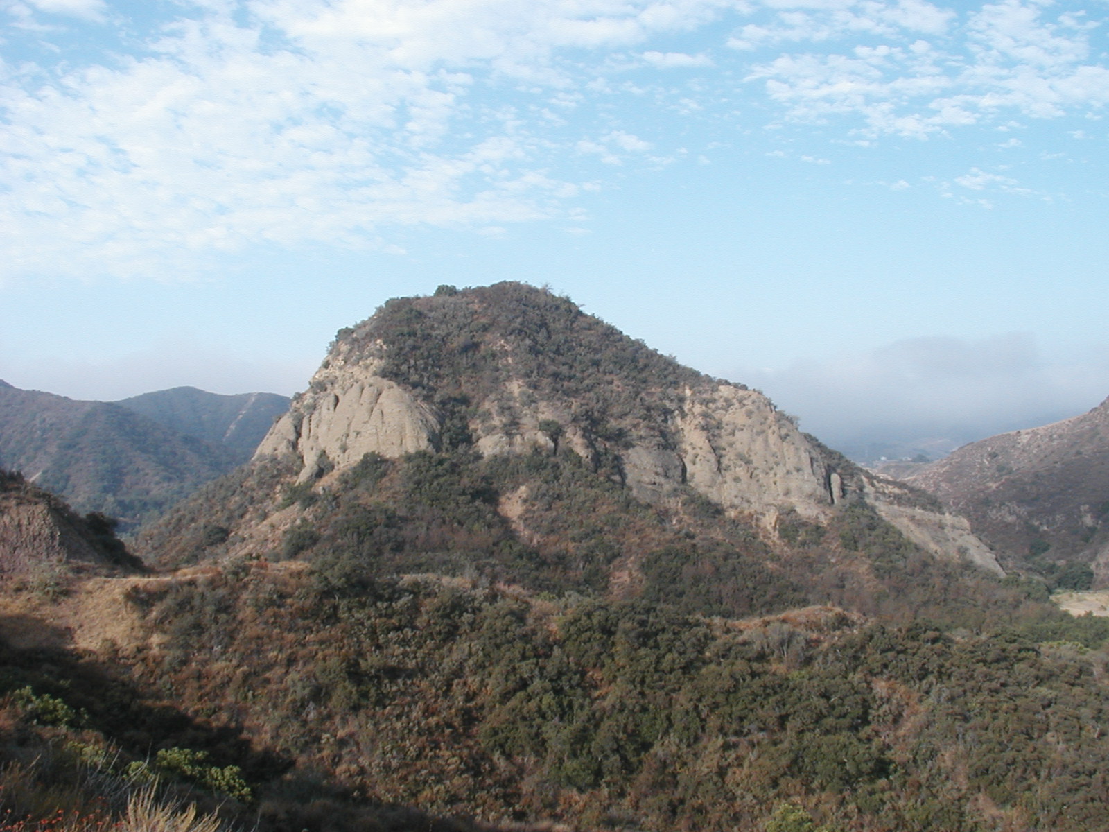
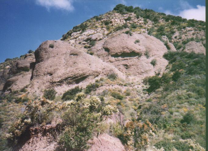
| Right: The trail down to the resevior. Left: The Ziggurat on the Harding trail. |
 |
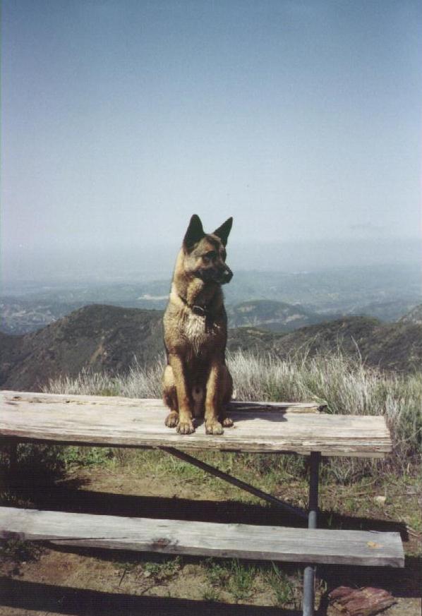
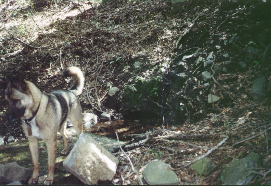
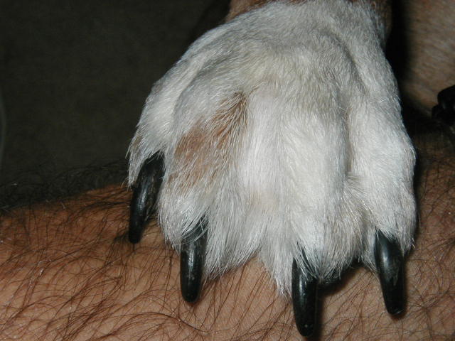
| Left: This handsome fellow is not my dog. His name is Sam and he has been at the trail head of Harding Canyon every Saturday I have hiked there. He seems to think he is some sort of self-appointed trail guide. |
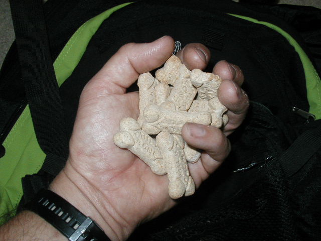
| Below : After some brief haggling with Sam, we came to an agreement on services and a reasonable per diem. Milkbone rate of exchange at the time was about 15 cents American. A bargain in these parts. |
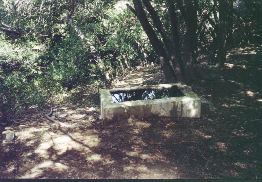 |
| Right: Laurel Spring- 3456' elevation. These cisterns catch the dribble of water seemingly oozing from the hillside behind them. Sherpa-Sam had a great time splashing around the the lower one. I thoughtfully filled my canteen from the upper one. The whole spring area is nicely shaded with what sort of resemble olive trees. |
 |
 |
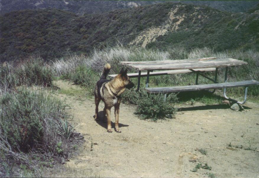
| This Nixon-era picnic table was a nice place to relax and empty the rocks out of my shoes. Sam seemed to be irritated with me at this point and wanted to play "ditch the human" |
 |
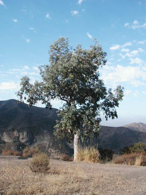 |
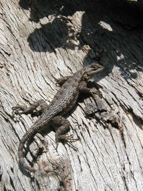
| Above: I generally eat my lunch under this lonely Eucalyptus tree at 1900' elevation. This lizard and his buddy scrambled around the trunk of the tree and was good enough to stop long enough for me to take this spiffy picture. |
 |
 |
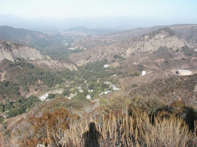 |
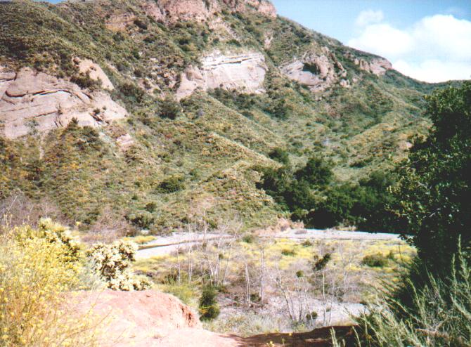
| Right: A nice view from the Eucalyptus overlooking Mojeska Canyon. The freakishly shaped shadow figure in the foreground is of course me. Dispelling any myths about me being transparent |
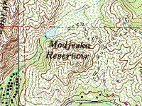
| The map on your left is a link to a great topographic map of Mojeska Canyon compliments of Topozone.com, an excellent source of free topographic maps. These have been a terrific reference to me for trails, mines, elevation and structures that I might have otherwise overlooked. |