| Click on the picture |
|
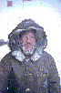 |
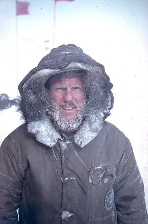
Dad |
 |
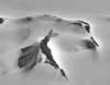
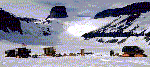
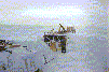
I got this one from Morag Hunter who writes:
Dear Dan
I have attached a photo of my sledge party (on the right, 5 small dots)
arriving at Sky Blu (hut and tents are blobs on the left) which is the British
Antarctic Surveys blue ice runway. The Merrick Mountains are at the top of the photo.
I actually visited the mountains two years ago but this photo is taken from the
end of our season this year. I really like it cos it shows the scale of the
mountains. They are about 25 km to the south, the photo is taken from a mountain
that sits behind the runway. |
 |
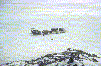
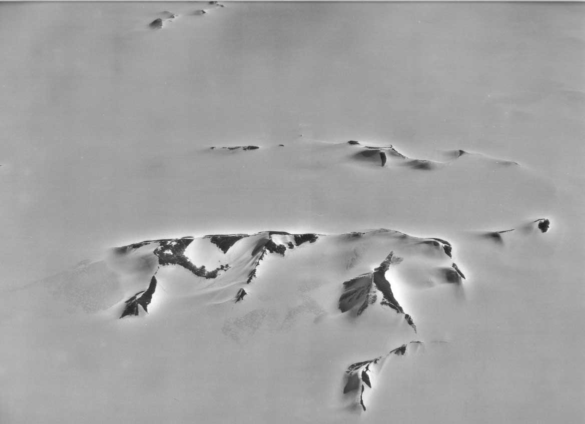
An aerial view. |
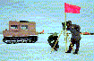 |
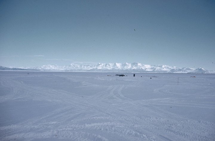
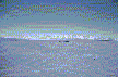
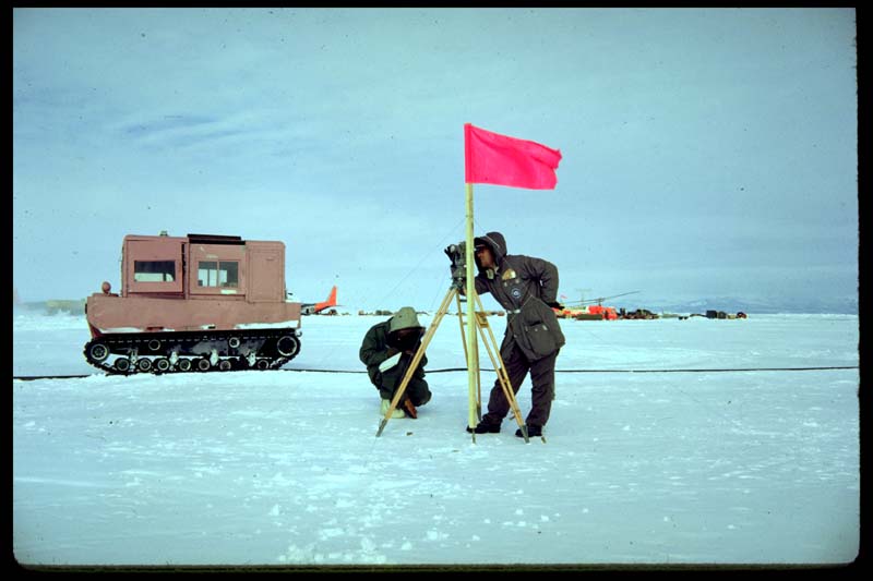
Surveying on the sea ice at McMurdo |
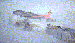 |
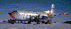
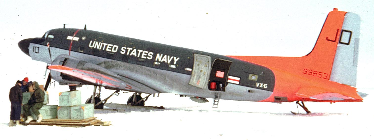
RD4 or "Super DC-3" 99853
Big photo of this one with numbers
Visit this plane's webpage at: http://www.centercomp.com/cgi-bin/dc3/gallery?5003 |
 |
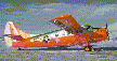
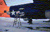
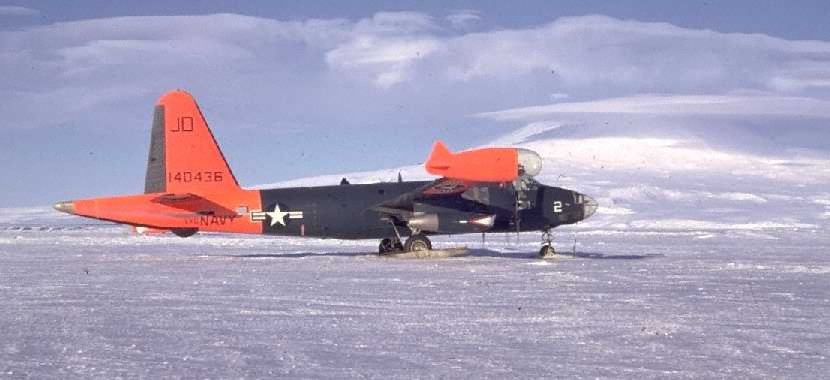
P2 140436 a patrol aircraft used for aerial photography.
Mount Erebus, an active volcano, in the background. Check
out http://www.vpnavy.com/
The P3 Orion is the current Navy subchaser. |
 |
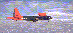
C124 Globemaster 21077. Dad flew down from New Zealand in
this one. |
 |
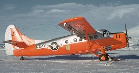
Dehavilland U-1B Otter 144674. find out where this plane is now here. |
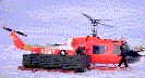 |
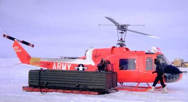
Huey, Must be one of the first since they only came out in 61 |
 |
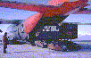
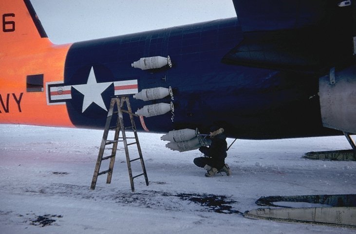
Attaching JATO (Jet Assisted Take-Off) bottles to a
P2. |
 |
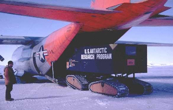
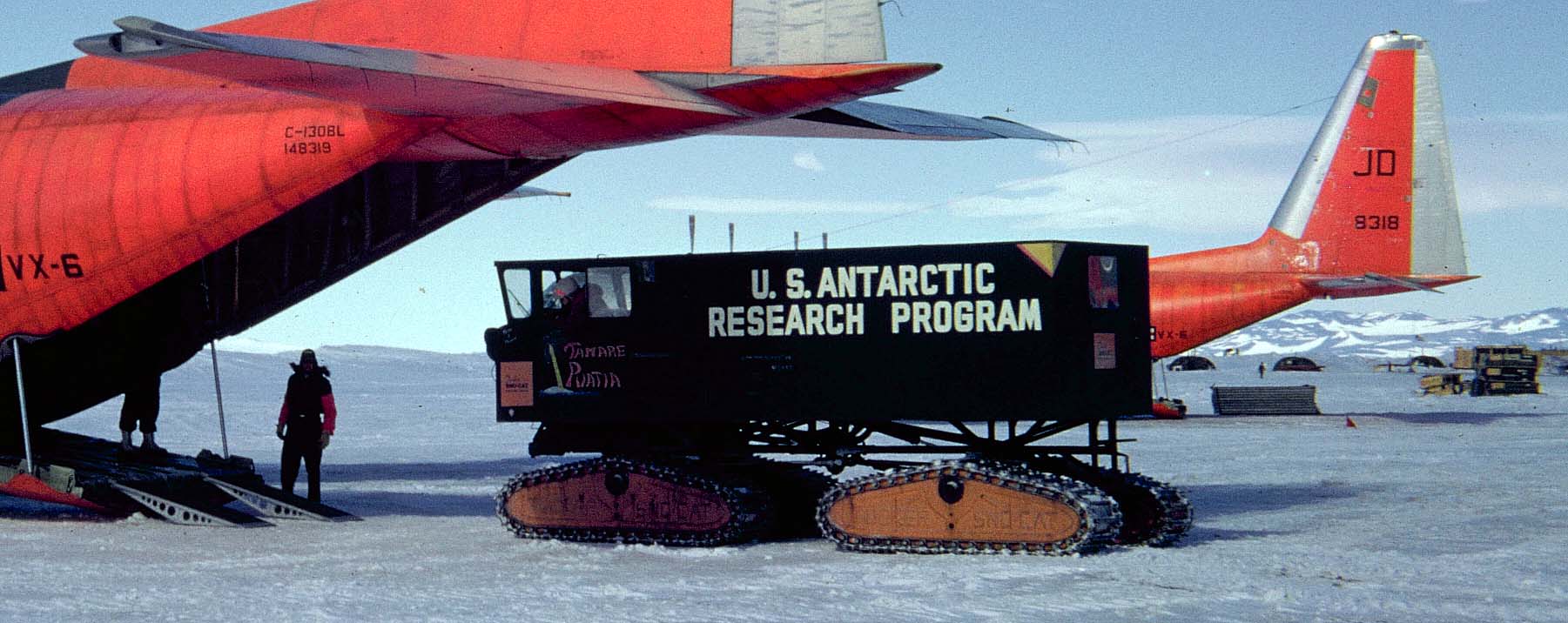
Loading a Sno-Cat into a C130 (148319) Hercules for the flight
out.
Large photo with tail numbers |
 |
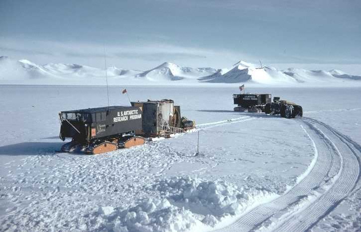
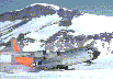
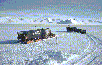
Jones Mountains and an older Sno-Cat from the previous season.
This Sno-Cat was gasoline driven and the others diesel.
This one was later abandoned on the ice.
The box with ice on top is a portable outhouse. |
 |
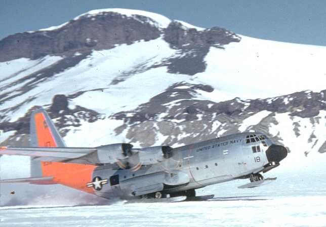
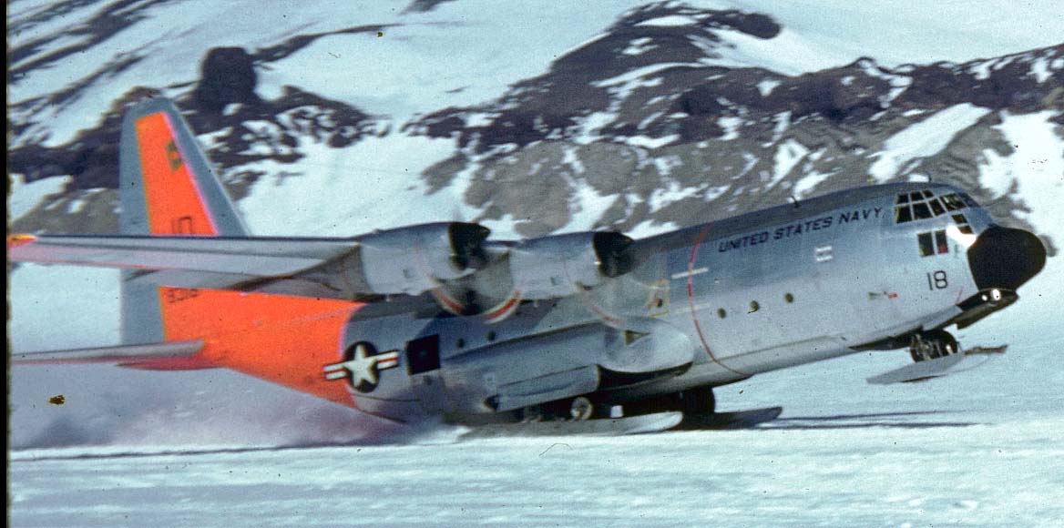
Ski-equipped C130 (148318) Hercules takes off. I think this is
the Jones Mountains in Ellsworth Land.
Large photo with tail number |
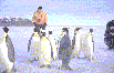 |
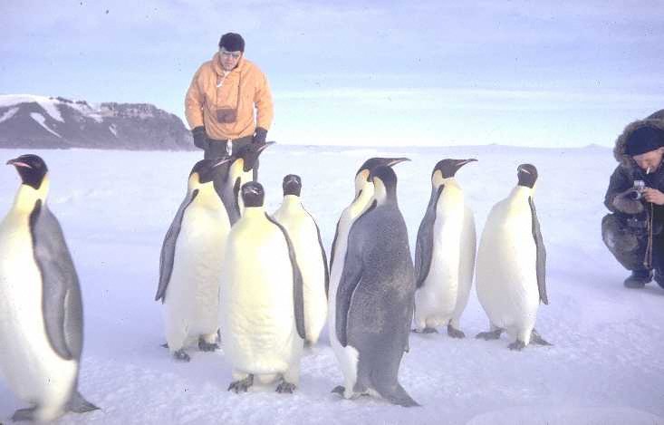
Penguins, no tail numbers |
 |
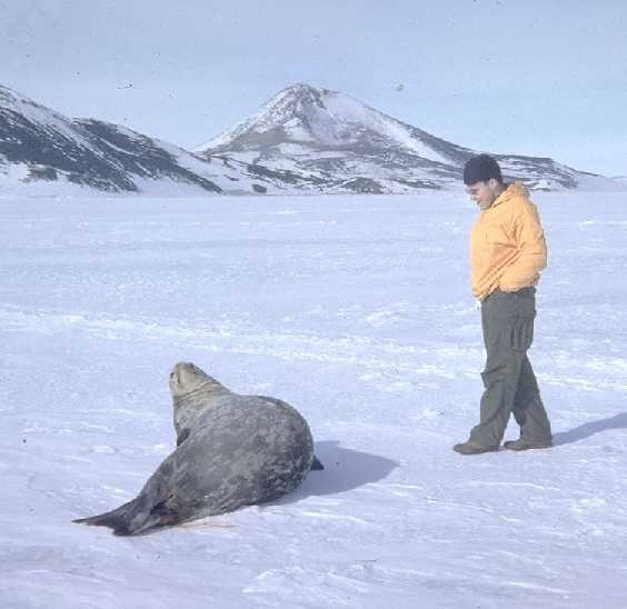
Seal |
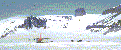 |
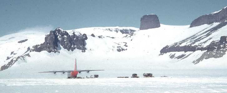
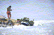
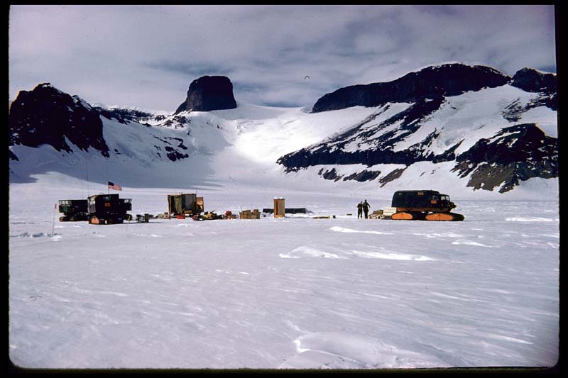
Starting point of the expedition in the Jones
Mountains |
 |
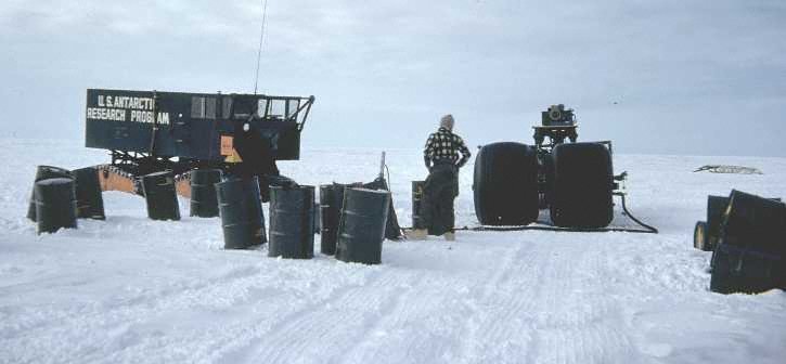
Loading diesel fuel into the huge tires of the
"rolly-trailer." |
 |
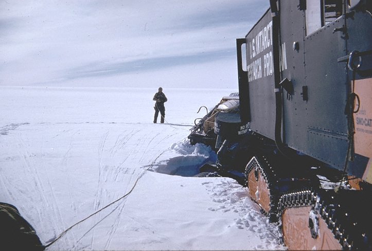
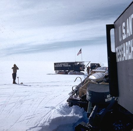
The fuel drops into a crevasse. |
 |
The would-be-rescuers drop into a crevasse. |
 |
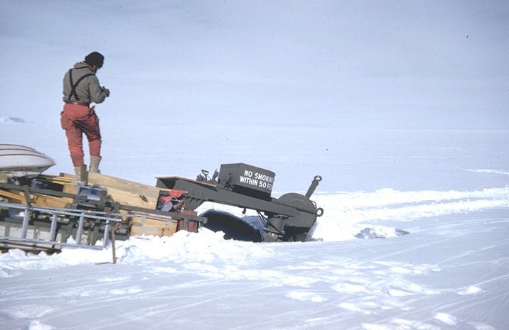
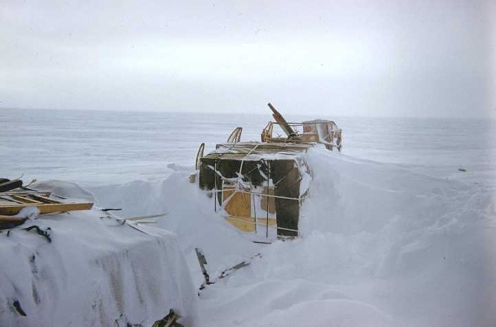
Surveying the damage. |
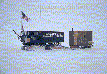 |
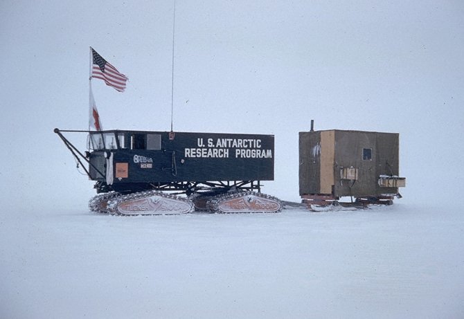
Home: a Sno-Cat with the cook wanigan behind. |
 |
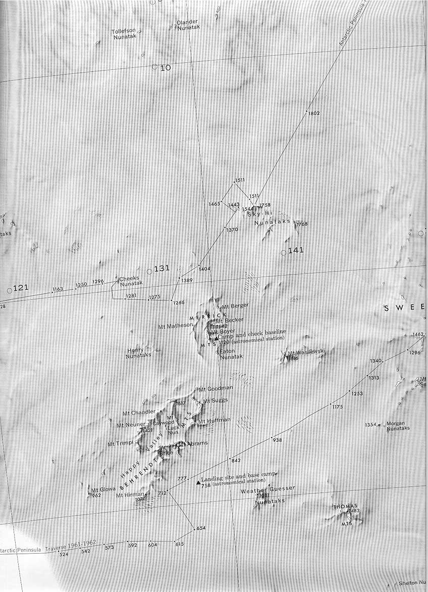
The Merrick Mountains or near to. |
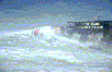 |
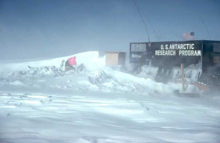
A wind storm. |
 |
After the storm, time to dig out. |
 |
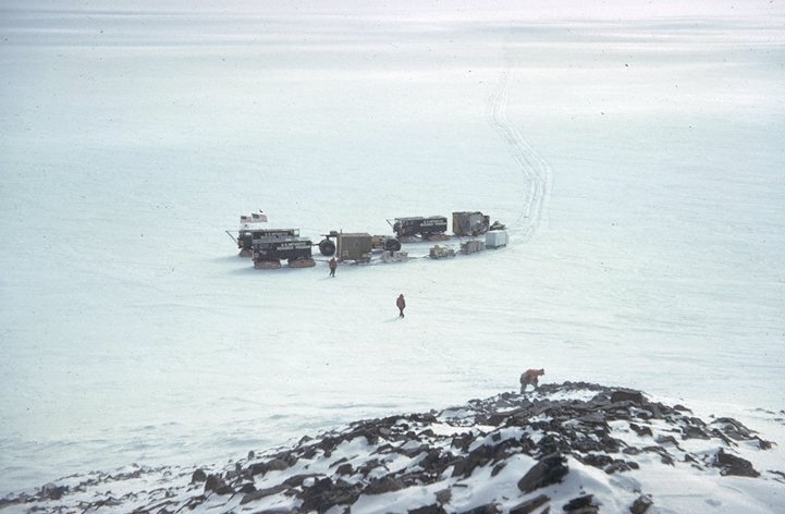
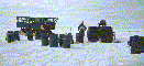
The whole expedition |
 |
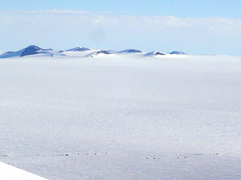
The Ellsworth Mountains from Ski-Hi or Eights
Station. Mount Vinson, the highest peak in Antarctica is
there somewhere. |
 |
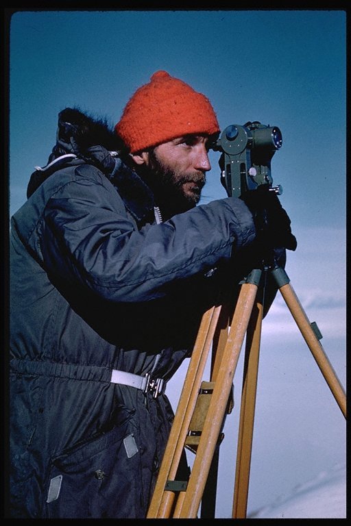
I think this is Zeke Sosa |
 |
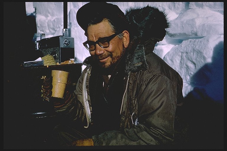
I don't know who this is but it is a nice photo. I'll
have to ask Dad. |
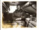 |
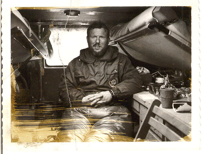
The only interior photo we have. A black and white polaroid taken on Christmas 1961. |