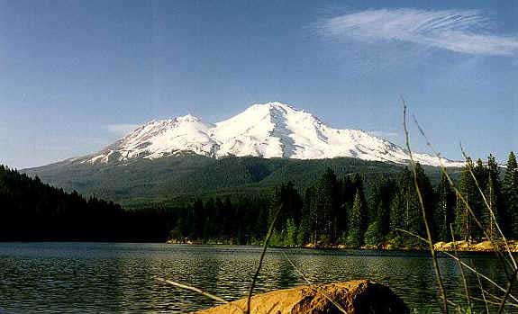
This is Mount Shasta in Northern California. It is a very sacred place to my people, the Ajumawi-Atsugewi Nation, commonly known as the Pit River Tribe. It is a volcano and last erupted in 1786. It is 14,162 feet high and over 11,000 feet above the valley floor. You can see it for over one hundred miles away. Scientists have estimated that there are at least ten glaciers on Mount Shasta.
For more information on Mount Shasta visit these informative sites:
Volcanic
Information from USGS/Cascades Volcano
Observatory
The Glacial History of Mount Shasta