Mid State Trail Photos
2002 April
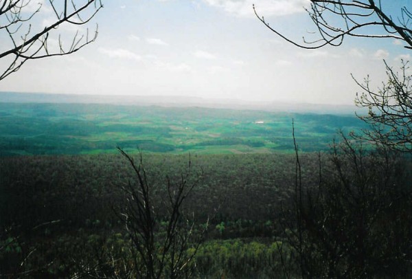 First Overlook - This is one of the first overlooks from the MST near the intersection
of the trail with PA Furnace. Click image for larger view.
First Overlook - This is one of the first overlooks from the MST near the intersection
of the trail with PA Furnace. Click image for larger view.
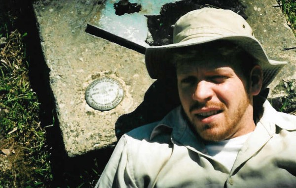 You Got A Purdy Mouth, Steve! - Steve poses by a USGS marker at the begining of
our journey. The marker reads elevation 2238 ft. Click image for larger view.
You Got A Purdy Mouth, Steve! - Steve poses by a USGS marker at the begining of
our journey. The marker reads elevation 2238 ft. Click image for larger view.
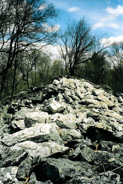 Rocky Path on the Jackson Trail - this rock pile was typical of the path along
the Jackson Trail, with several crossings of areas like this. After a few days, these rocks
can take a toll on your feet. Click image for larger view.
Rocky Path on the Jackson Trail - this rock pile was typical of the path along
the Jackson Trail, with several crossings of areas like this. After a few days, these rocks
can take a toll on your feet. Click image for larger view.
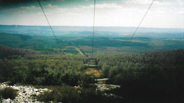 View Down The Powerlines - View along the trail during the first day's hike at
a powerline cut. The dark spot in the top left corner is just my lens cap, not impending
doom! Click image for larger view.
View Down The Powerlines - View along the trail during the first day's hike at
a powerline cut. The dark spot in the top left corner is just my lens cap, not impending
doom! Click image for larger view.
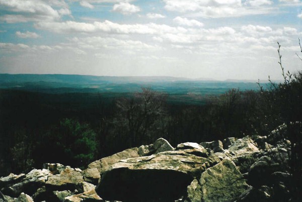 Rocky Overlook - Another view from the first day. Views like this were typical
on the first day's hike along the Mid State Trail. The good weather helped make the views
better. Click image for larger view.
Rocky Overlook - Another view from the first day. Views like this were typical
on the first day's hike along the Mid State Trail. The good weather helped make the views
better. Click image for larger view.
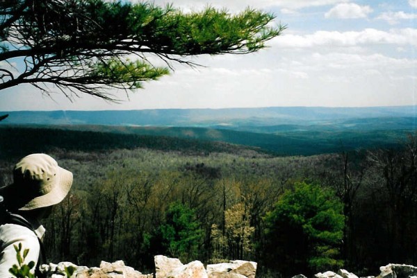 Steve Enjoys Another View - This photo shows Steve enjoying the views into Rockrock
State Forest. This is also from the first day's hike. Click image for larger view.
Steve Enjoys Another View - This photo shows Steve enjoying the views into Rockrock
State Forest. This is also from the first day's hike. Click image for larger view.
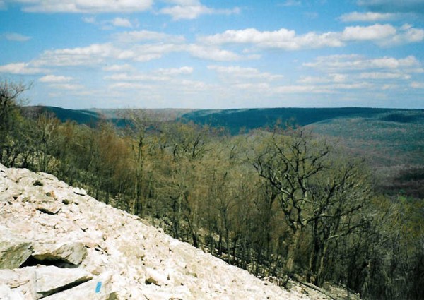 Looking Into Rothrock From The Jackson Trail - View from the Jackson Trail on a
perfect day. This view, as are many, is located right on the trail, as evidenced by the
blue blaze in the bottom left of the photo. Click image for larger view.
Looking Into Rothrock From The Jackson Trail - View from the Jackson Trail on a
perfect day. This view, as are many, is located right on the trail, as evidenced by the
blue blaze in the bottom left of the photo. Click image for larger view.
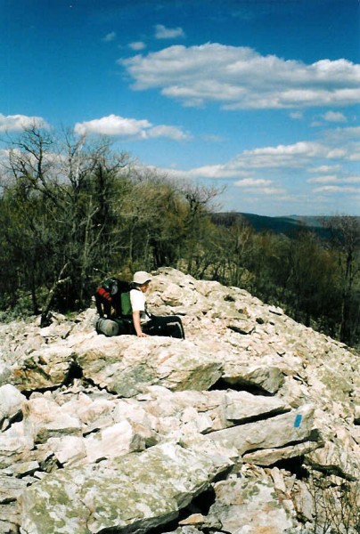 Steve Takes A Break - Again, on the first day. Steve takes a seat under blue skies
to enjoy the view shown above. Click image for larger view.
Steve Takes A Break - Again, on the first day. Steve takes a seat under blue skies
to enjoy the view shown above. Click image for larger view.
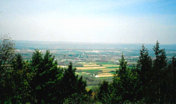 Happy Valley From The Trail - View from the trail looking into Happy Valley.
Click image for larger view.
Happy Valley From The Trail - View from the trail looking into Happy Valley.
Click image for larger view.
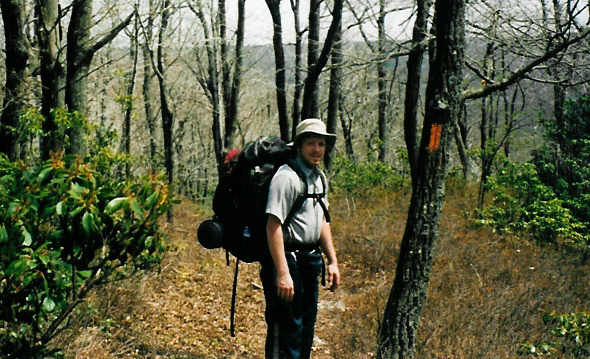 Steve Strikes A Pose - Steve poses for a photo on the first day while hiking on
the MST. This is shortly before we descend for the first night's camp. Click image for
larger view.
Steve Strikes A Pose - Steve poses for a photo on the first day while hiking on
the MST. This is shortly before we descend for the first night's camp. Click image for
larger view.
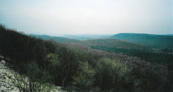 Bear Meadows And Rothrock - View along the trail near 11.5 mile marker (from PA 26).
This is a few miles beyond the Little Flat Fire Tower. Click image for larger view.
Bear Meadows And Rothrock - View along the trail near 11.5 mile marker (from PA 26).
This is a few miles beyond the Little Flat Fire Tower. Click image for larger view.
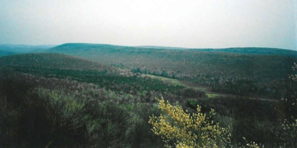 Bear Meadows - Bear Meadows can be seen better in this view from the same overlook
noted above. Bear Meadows is the green area running horizontally in the center of the photo.
We took a ride down after the hiking trip to see this area, which is a neat swampy, lagoon
type area that is rare this far south. Click image for larger view.
Bear Meadows - Bear Meadows can be seen better in this view from the same overlook
noted above. Bear Meadows is the green area running horizontally in the center of the photo.
We took a ride down after the hiking trip to see this area, which is a neat swampy, lagoon
type area that is rare this far south. Click image for larger view.
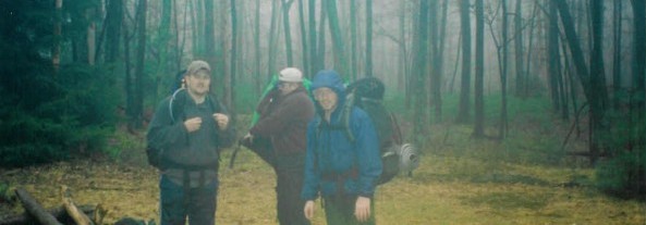 What A Miserable Morning - Here's the other three (Dain, Brad, and Steve) getting
ready for our hike on the last day. We look like a bunch of happy campers, most of all
Brad, who's tent leaked during the night. The weather didn't clear until we finished the
hike, just about the very minute it was over. Click image for larger view.
What A Miserable Morning - Here's the other three (Dain, Brad, and Steve) getting
ready for our hike on the last day. We look like a bunch of happy campers, most of all
Brad, who's tent leaked during the night. The weather didn't clear until we finished the
hike, just about the very minute it was over. Click image for larger view.
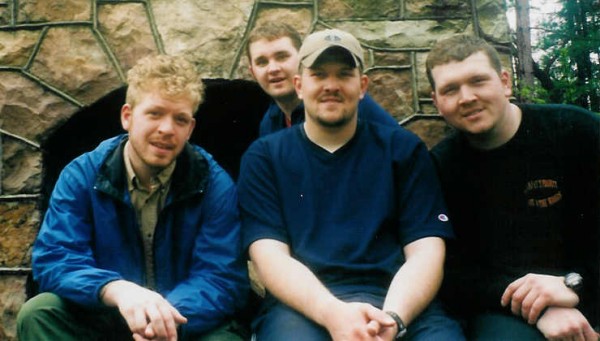 Afterwards - Here is all four of us upon completion of the hike. That's me in the
back, ducking into the photo just in time as the timer goes off. We need a name for our band.
And which one gets all the bitches? Click image for larger view.
Afterwards - Here is all four of us upon completion of the hike. That's me in the
back, ducking into the photo just in time as the timer goes off. We need a name for our band.
And which one gets all the bitches? Click image for larger view.
© 2003 by David Smith