Wharton's Position (CSA) Facing South towards Snickers Ferry Crossing
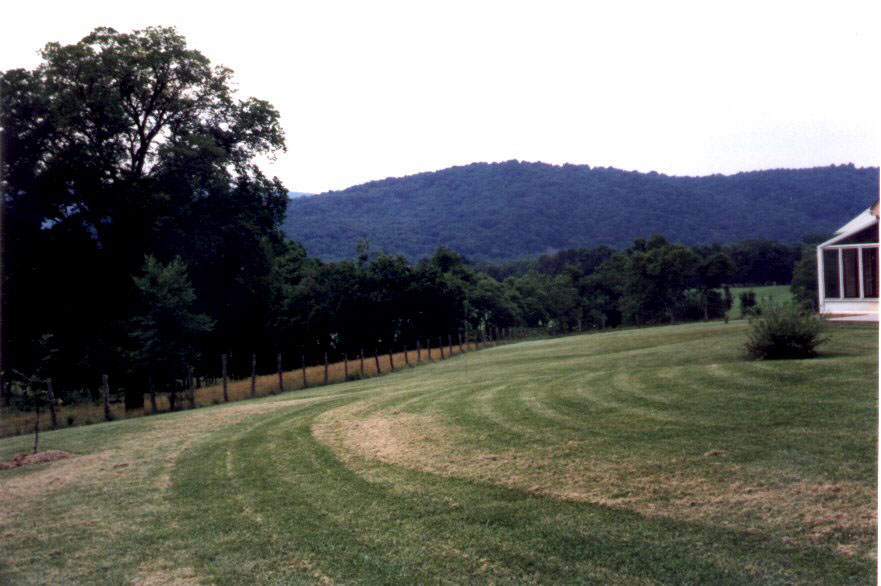
Western side of Shanandoah River, Wharton's Position Facing the [Snicker's] Ferry
Wharton's Position (CSA) Facing South towards Snickers Ferry Crossing
Western side of Shanandoah River, Wharton's Position Facing the [Snicker's] Ferry
The mountain in the background is the approximate location of Snicker's Gap, at at the banks of the Shanandoah, the crossing was known as Snicker's Ferry and/or Castleman's Ferry. Rather than cross the river facing confederate forces positioned there, General Crook led them down a lane on the eastern side of the river, where they crossed at the lower islands.