| Great Lakes: Lake Superior Superior Falls on the Montreal River |
 |
 |
 |
 |
 |
 |
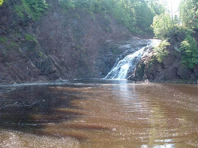
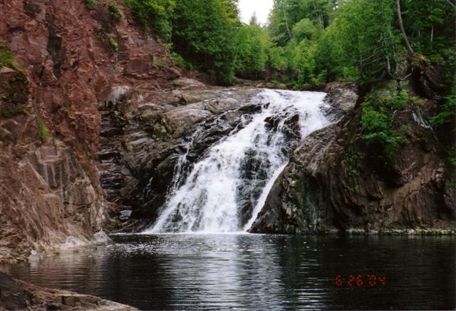
| The Montreal River forms the border between the Upper Peninsula of Michigan and Wisconsin. The mouth of the river spills out into Lake Michigan at a very rocky shoreline. There is a UP Michigan power plant located very near the mouth (there is a dam upstream that diverts water down to the plant via two very large pipes). And finally just upstream from the powerplant is Superior Falls. The falls are 90 feet high and are surrounded by very steep rock walls that form a basin. There is no actual trail to see the falls, some mild rock climbing is required. Also, the path up/down the hill from the parking spot is very very steep. Wisconsin Waterfalls |
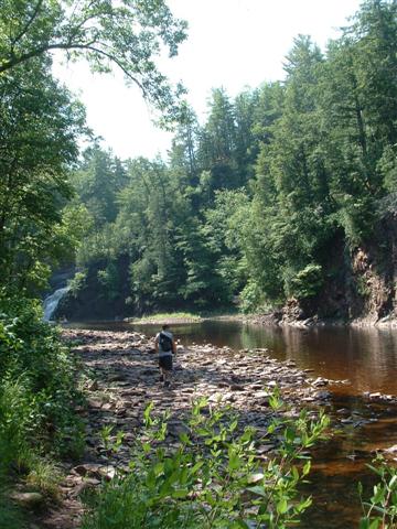
| Above: This is the rocky walk between the powerplant and the waterfall, along the side of the river. |
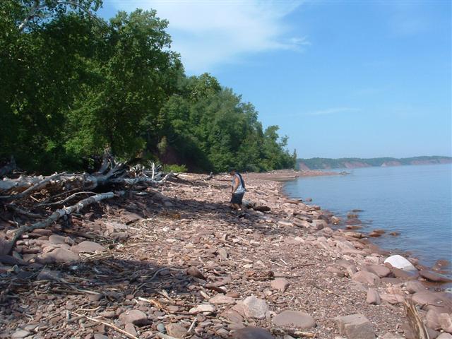
| Above: That would be me walking along the Lake Superior shoreline looking for rocks. I have no idea what kind they are, but the whole beach is covered in rocks that are very light blue, and have been eroded to be very smooth and flat by the wave action. I should look up what kind of rock they are. |
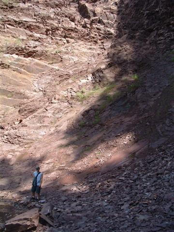
| Above: That's me standing on the edge of the river below the falls. On all sides of me are the sheer rock walls that climb well over 100 feet straight up. Left: This is one of two pictures I have of Superior Falls. The water level in the Montreal River is low, and some is being diverted to the power plant. This picture was taken by a friend's digital camera. |
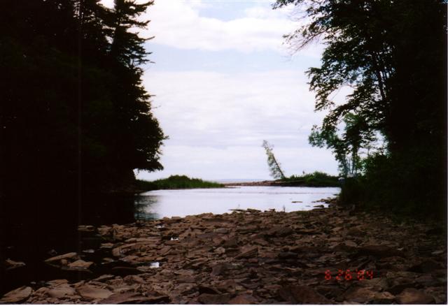
| Right: This is the second picture I have of Superior Falls. The image is a little clearer and it seems the river has a little more flow to it. The left side of the falls is Michigan and the right side of the falls is Wisconsin. Below: This picture is looking from below the falls out to Lake Superior, across the mouth of the Montreal River. |