| Vancouver Canada Vacation |
 |
 |
 |
 |
 |
 |
 |
 |
 |
| A postcard view of the west part of downtown Vancouver and Stanley Park, which is the tip of the peninnsula that downtown sits on. |
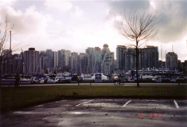
| Looking from the edge of Stanley Park across the sailboat marina towards downtown Vancouver. It's December, so most trees don't have leaves on. |
| The sign on the gateway reads "Gateway to Historic Gastown". The streets/sidewalks are all red brick, and there is a famous steam-powered 12' clock tower located here. |
| Gastown at night is brillantly lit up. Over a few days, Karrie and I found our favorite pub, locatted in Gastown, called "Deighton's Well". |
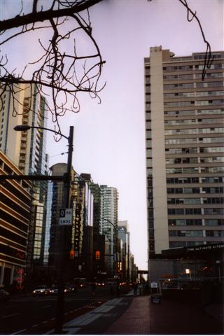
| A shot I took while walking down the street. I think this is Georgia Street, which our hotel was 12 blocks up. |
| This is a view from Stanley Park, below the Hwy 99 bridge that connects North Vancouver with downtown Vancouver, over the First Narrows of the Burrard Inlet. |
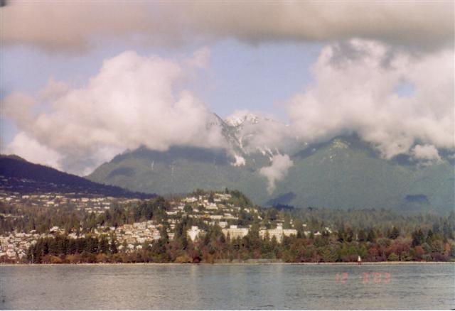
| North Vancouver is across the Burrard Inlet, at the foot of the mountains. The mountains were snow-covered, but the low clouds were always obscuring the white peaks. |
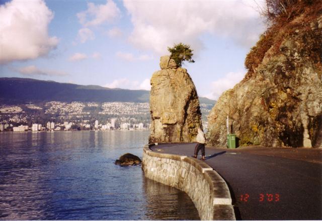
| This is a picture taken on the walk-way around Stanley Park. The walk-way is paved, right next to the water, and is about 7 miles long. We spent one day walking the whole trail. In the background is another view of North Vancouver. The rock pillar is called "Siwash Rock". The plaque below the pillar reads: |
| SIWASH ROCK Indian legend tells us that this 50 foot high pinnacle of rock stands as an imperrishable monument to "Skalsh the Unselfish," who was turned into stone by "Q'uas the Transformer" as reward for his unselfishness. |
| A backside view of Siwash Rock from further along the sea-walkway. To the right of the rock are large cargo ships waiting to enter the port. |