| Northwest Wisconsin Weather Brief |
| Surface Data HPC Sfc Low Tracks Unisys Weather US Fronts WI Sfc Analysis (3hr) WI MesoWest EC/NE WI MesoNet Realtime JAVA Metar Hourly US wx stats Jet Stream Current & Forecast N. Hemi Heights |
| Severe Weather CoD Severe Weather skywarn eSpotter MASA Console Unisys MSP Skew T MesoAnalysis NWS Minn Info NWS Wisc Info 3 hr Forecasts |
| Winter & Snow John Dee Snow US Snow Depth Map MidWest Snow Map HPC Winter Wx Page CoD Winter Weather report ThunderSnow |
| NIIC Fire Level |
| Duluth (NW WI) Twin Cities (W Cen WI) Green Bay (E Cen WI) La Crosse (SW WI) Milwaukee (SE WI) Marquette (UP MI) |
| Local NWS Offices |
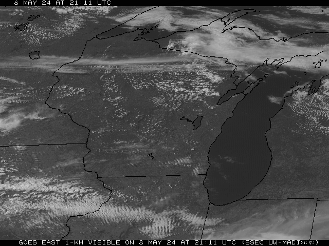
| WI Satellite Map (updates every 30 minutes) |
| WI Surface Weather Maps: (click on the logo) |
| Park FallsMoon/Sun Rise/Set |
| Washburn Moon/Sun Rise/Set |
| 2009 Meteor Showers |
| Best Viewed With |
| This page automatically reloads every 5 minutes. |
| Three Day Precipitation Forecast ... Day 1... Day 2... Day 3... |
| Three Day Thunderstorm Forecast ... Day 1... Day 2... Day 3... |
| Current Great Lakes Surface Map (cold & warm fronts, highs & lows) |
| Current Wisconsin Winds |
| Counties currently under Watches/Warnings. |
| Weather Radar across NW WI from Duluth, MN. |
| Rain (green), Mixed Precip (pink), Snow (blue) across WI. |
| Animation of precipitation & clouds across WI. |
| Current temperatures across the state. |
| Right now: |
| For more Severe Weather info, click the SPC logo. |
| For more Precipitation info, click the HPC logo. |
| Type in a city's name for a NWS forecast. |
| Some Wisconsin Information: |
| This page will dissapear on October 26th due to cutbacks from Yahoo.com. The new Weather Brief page can be found at http://cmlnmbs.homestead.com/weather.html Please be sure to change your bookmarks / favorites before October. The new website continues as a work in progress. Sorry for the inconvience! |


