
|
|
| Day 4 8/31 Friday ���[�����u�����Ѯ��B�}�� Bow Lake�ίQ�~���B�e Crowfoot Glacier�C��ĤG���B�e�ɴ��ҧΦ��ܤ����O�s���㤧���ۤ�ȦB�t. | more... |
 |
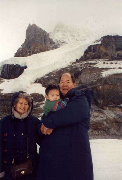
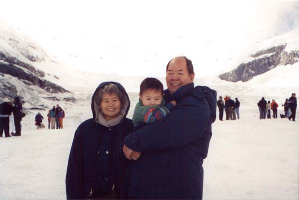
#81 Columbia Icefield�CTHE ICEFIELDS PARKWAY, powerfully rugged mountain scenery, glaciers, waterfalls and icefalls, and big-game animals. The original highway was built during the Great Depression to provide badly needed jobs, but has since been reconstructed. The parkway is now a modern two-lane road, with wide paved shoulders along most of the route. It needs to be: about 4 million people drive it each year. |
BOW SUMMIT. The summit, at 6,787 ft the highest drivable pass in the national parks of the Canadian Rockies, may be covered with snow as late as May and as early as September. On the south side of the pass is Bow Lake, source of the Bow River, which flows through Banff. Around the lake are stubby trees and underbrush - this is where the trees end and high-alpine country begins. |
| more... |
 |
Above Bow Lake hangs the Crowfoot Glacier, so-named because of its resemblance to a three-toed crowfoot. At least, that's how it looked when it was named at the beginning of the 20th century. Glaciers in the Canadian Rockies have been receding for at least a century, and the Crowfoot is a good example. The lowest toe completely melted away fifty years ago, and now only the upper two toes remain. On the north side of Bow Pass is Peyto Lake; its startlingly deep aqua-blue color comes from the minerals in glacial runoff. 41 km (25 mi) north of Lake Louise, 190 km (118 mi) south of Jasper. |
| #82, more... |
 |
|
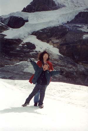
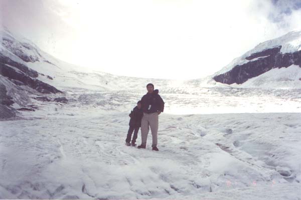
| #83 ATHABASCA GLACIER is a 7-km tongue of ice flowing from the immense Columbia Icefield almost to the highway. | more... |
 |
|
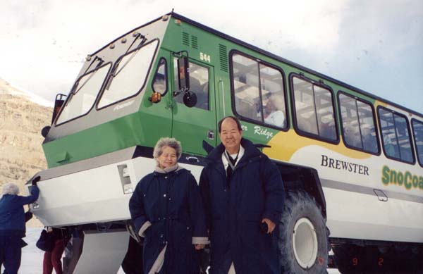
| #84 A century ago the ice flowed over the current location of the highway; signposts depict the gradual retreat of the ice since that time. | more...- Snow Coach |
 |
|
| #85 Several other glaciers are visible from here; they all originate from the Columbia Icefield - a giant alpine lake of ice covering 325 square km (130 square mi), whose edge is visible from the highway. | more... |
 |
|
| #86 ��������''����''�e���`�F300�l���`���ȹF�ڴ��[�B�e���C�@���B����U�~�B�h��������C | more... |
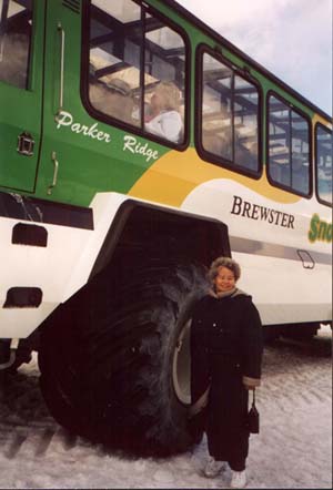 |
#87 You can take a trip onto the Athabasca Glacier on buses modified to drive on ice. Hikers can also walk onto the tongue of the glacier, hidden crevasses and slippery, sharp ice. |
Last updated 9/5/2003 |
| Go |