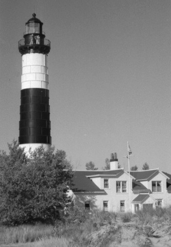
Big Sable Point Lighthouse
Late Summer 2003 - Launch from Ludington State Park. It took a bit of explaining, but park personnel allowed me to leave the car parked overnight in their lot while I paddle around Big Sable Point to the federal Nordhouse Dunes Wilderness Area to camp overnight Saturday. They only required a regular annual vehicle permit and did not charge a camping fee. The park entrance attendant had to call the main building to get special instructions on how to handle the situation. It seems apparent few paddlers show up on the state park's doorstep only to abandon their modern camping facilities for the backcountry camping available on the adjacent federal land. They provided a sheet of paper with my destination and time of return for the car dash while it sat parked in their lot. The Big Sable River bridge just outside the park entrance provides a convenient place to disembark. Once settled into the kayak it is a short paddle down the river and out the mouth into Lake Michigan.
This is my first voyage on the Great Lakes with a newly purchased kayak. It is an experiment begun with a bass fishing friend ironically to replace a conventional fishing boat in order to fish smaller waters with unimproved or no public boat trailer access in order to escape job cares, the pressures of the suburbs, and the nautical NASCAR events so many Michigan inland lakes resemble.I headed into the northwest wind over round 1 1/2' waves. Reflected waves around the point created by rocks placed along the shore to protect the lighthouse sharpen and increase wave height to two feet. Once passed the point, things subsided a bit. It is only five miles of paddling to the preferred location I like to stretch my hammock between the trees and listen to the waves crash and wind whistle thro' the jack pines. After carrying the gear and then the kayak over the beach dune into camp, I eat and catch a nap. In the late afternoon I'm back on the water paddling northeast trying to manage quartering two foot waves while frequently sponge bailing the washover out of the cockpit. This experience and inundation during beach launching into waves convinces me a sprayskirt is in order if I want to spend more time with the paddle in my hand rather than the sponge.
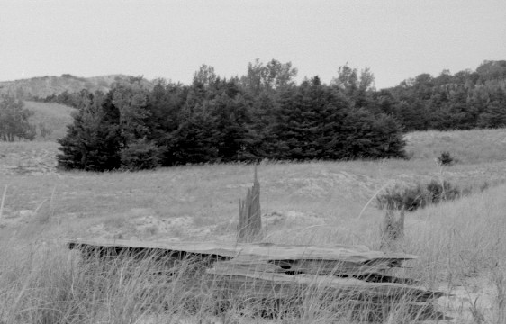
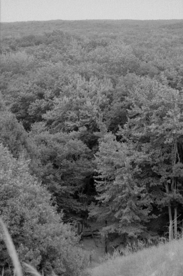
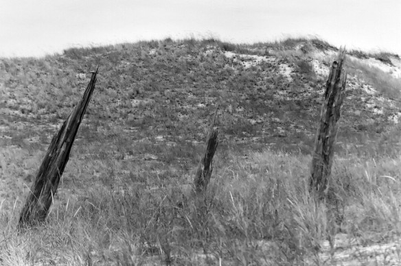
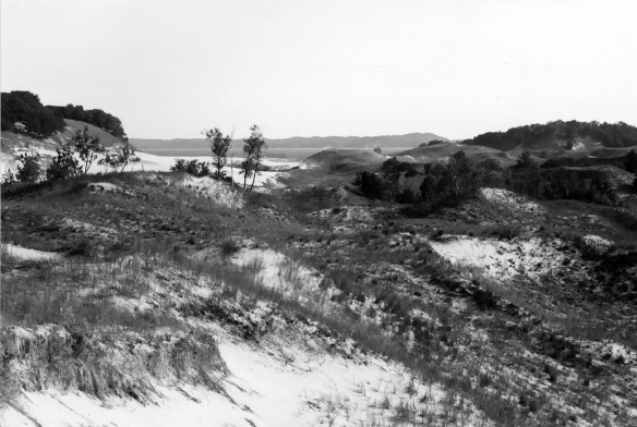
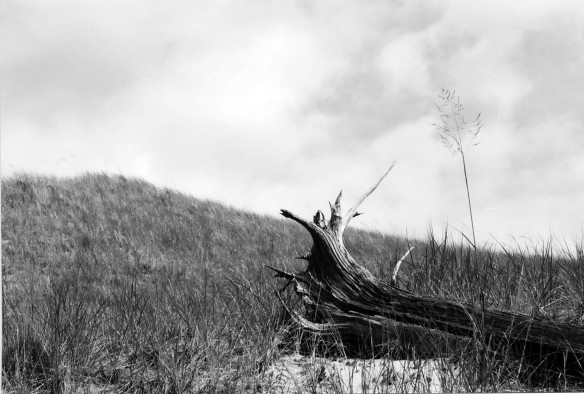
The Nordhouse Dunes are a great open expanse of undulating grassy hills rimmed by water to the west and deep forest to the east. The distinction between trail and brush is only as great as you make it, and a huge lake to the west makes jazzing thro' the grassy dunes and jack pine stands a breeze without a map or compass. The Nordhouse Dunes is the only wilderness area with backcountry camping available on the mainland of the lower peninsula. Even compared to Sleeping Bear Dunes National Lakeshore, the Nordhouse will put you further from the nearest road because many environmentally sensitive backcountry areas of Sleeping Bear Dunes are off limits to hiking and camping. Over the years I have found virtually no one hikes the wide open dunes or isolated jack pine stands of Nordhouse. Backpackers who pay the $3 per night parking permit fee at the Nurnberg Road parking lot usually confine themselves to the trails and the shoreline area near the Three Bears Dunes. With Michigan waistlines getting bigger, hiking and backpacking have predictably dwindled. Huffing up a 40' or 100' dune is hard work, but the rewarding views from the top bring a little oxygen to the heart. Also, few things are as awe-inspiring and other-worldly in Michigan as hiking the lakeshore during a lake-effect snowstorm when the lake is a wind-whipped misty caldron with columns of clouds boiling out of the horizonless lake. One can look up into deep blue sky and walk a quarter mile into an impenetrable curtain of snowfall below a column of clouds marching inland.Before leaving on the trip I had checked the forecast for a go-no-go. Rain was expected Sunday, but it came earlier than I had hoped would allow a late morning return. Upon rising at 8:00 the first light drops appeared. Within fifteen minutes I struck camp and was at the water's calm edge watching dark gray clouds to the northwest. Not long after I began cruising I noticed a small cloud heading southeast sweeping a skirt of rain over the water and eased my cadence to allow it to pass by to come around behind it. A little more time to stay dry was all I had won. Not far behind the cloud an endless gray front consumed the watery horizon. A kayaker in a long touring yak launched off the beach and met me coming out with the same escape in mind. He pointed to his wife, a speck in the distance I had not noticed, and quickly pulled away to catch up to her. As we neared the lighthouse the front caught us in a steady rain. They pulled out; I continued on. The front had given no hint of lightning or thunder as it marched in. The wind and waves had only picked up moderately and stayed so. I paddled up the Big Sable River and sought refuge from the rain under the bridge where I had originally launched. Leaving the kayak underneath, I retrieved the car, parked on the bridge, loaded up, and departed.
If I can convince the folks at Mears State Park in Pentwater to babysit my car, I could make the paddle to Nordhouse Dunes a respectable distance. Orchard Beach State Park in Manistee, unfortunately, sits atop a high bluff. The only beach access is a 30 foot climb on a winding wooden stairway which is too dangerous to move a kayak. The municipal marina or one of the private marinas in Manistee could provide much more convenient water access and overnight parking.