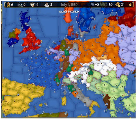
A Sea Route to China?
Despite a sea-bound focus, new
territory was added
Note the Irish province, a good way station for seabound troops
North Africa
Our first colonial effort gave us a port to resupply our ships as we ventured
south.
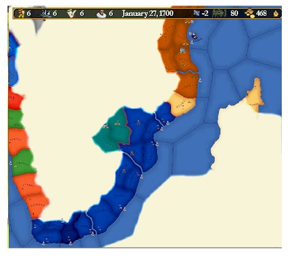
South Africa
Not much to see, but we do have a colony on the Cape.
Not much to see, but we do have a colony on the Cape.
The East
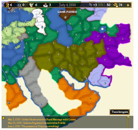
With maps pillaged from Lithuania, we learned much of the east. Too bad all
that orange ISN'T Bavaria.
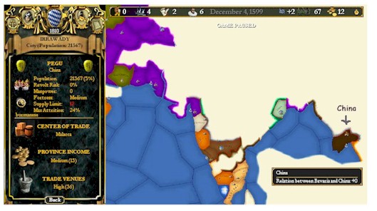
1599 - The Journeys of Duke JH "The Sea Lord"
China, or at least one province, is discovered!
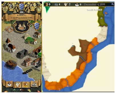
The Cape Colony continues to grow.
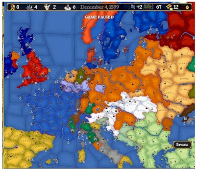
Greater Bavaria in 1599.
1700 - Alex Gariepy's Maps of Asia, Bavaria, and Other Lands"
Please Note - After the Cartographer Rebellions, all maps of Bavaria now appear in Blue, not Orange.
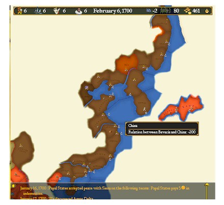
China, as mapped after the war
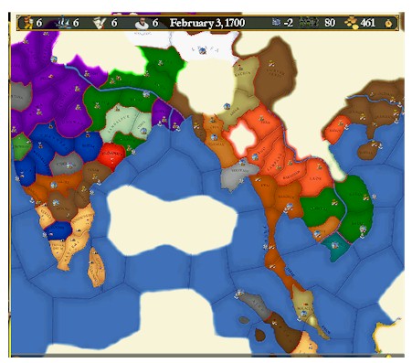
Asia & Bavaria's Indian Provinces
These are the lands in which the first war against China was fought. It might have resulted more favorably for Bavaria had these sea routes to the Chinese mainland been known.
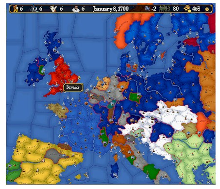
Greater Bavaria in 1700 & Lesser Alsace.
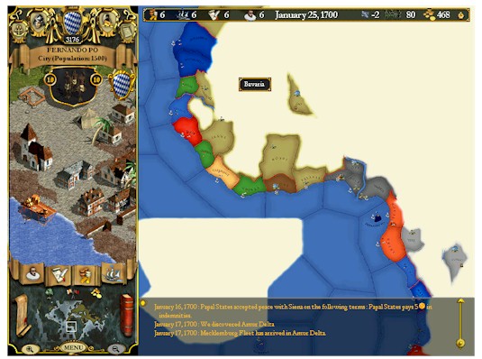
North Africa - The Fernando Po Base and Various Forgotten Lands
The Cape Provinces - The Heart of Fiction
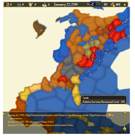
Cultural Note - The Mighty Creek
Benefitting from the Great Unrest suspected to be the work of the Raiders of the Lost Wlak, the Creek amassed amighty American Empire. Note the Northern Lands and the Southern Lands, seperated only by Tennessee and Illinois
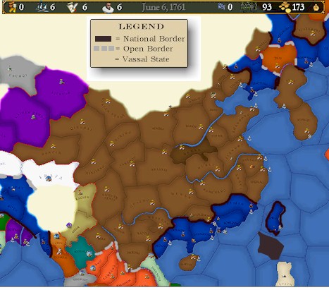
1760 - GREATER BAVARIA AND HER CHINESE CONQUESTS"
Here are the last maps recovered from the abandoned journal of Sir Connery
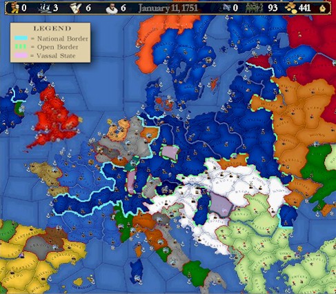
Greater Bavaria
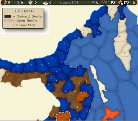
Northern China
Through conquest and some colonization, much of Northern China was claimed.
Southern China