 |
|
|
|
|
|
|
|
|
|
|
Revealing Ancient Bolivia |
|
|
|
The prehistoric city of Tiwanaku is located on the southern shore of the famous Lake Titicaca along the border between Bolivia and Peru. The heyday of this city was between A.D. 500 and 950, during which religious artifacts from the city spread across the southern Andes, but when the conquering Inka arrived in the mid-fifteenth century, the site had been mysteriously abandoned for half a millennium. Even after its abandonment, Tiwanaku continued to be an important religious site for the local people and the Inka Empire, and it is still an integral part of the religious lives of Andean people in the turbulent present of modern Bolivia. Although dozens of national and international projects began to unlock Tiwanaku's secrets during the last century, we are just now beginning to piece together the puzzle behind the origin of this architectural marvel and the people who built it.
The University of Pennsylvania project started in 1995 on the monumental temple of Pumapunku, one of the finest examples of Precolumbian architecture. In the last few years, our project has grown to include the entire site (four square kilometers) with participation from the University of Wisconsin, Madison; University of Colorado; MIT; and UMSA, the Bolivian university in the capital of La Paz. Our project not only focused on the impressive monumental remains; we also investigated the everyday lives of the site's inhabitants.
|
|
|
|
 |
|
 |
|
|
|
Laja is a very small pueblo between La Paz and Tiwanaku. The church was built in "commemoration" of the victories of the Spanish Conquistadors over the Inkas. Both it and the similar one in Tiwanaku have richly ornamented interiors, especially the high altars. Also, both churches made heavy use of the finely cut stones from the nearby ruins of Tiwanaku. The contrast between these cut stones and the roughly hewn ones used by the builders is striking.
|
|
Tiwanaku: Political and Spiritual Center of the High Andes
Nestled in a Bolivian highland Andean valley located 13,000 feet above sea level, the broad high land valley of the ruins of Tiwanaku is defined on three sides by mountain ranges, and on the fourth by the shores of Lake Titicaca. In the approximate center of the valley lies a series of large mounds and small platforms that mark the center of the city of Tiwanaku, occupied from ca AD 500–1000. The bleak and seemingly inhospitable landscape led some to view Tiwanaku as an empty ceremonial center, a pilgrimage site with no permanent population. Fortunately, scientific investigations over the course of this century have corrected this misconception and left us with a deeper understanding of the complexity of Tiwanaku and the cultural history of the Titicaca Basin, and of the continued ritual importance of the site to the modern indigenous inhabitants.
|
|
|
|
|
 |
|
|
|
|
|
|
The most recent developments in Bolivia have demonstrated the potential of and the threats to the site of Tiwanaku. In November of 2000 the UNESCO World Heritage Committee meetings in Cairins, Australia included Tiwanaku to the list of 690 world sites of "exceptional universal value". A team from National Geographic spent part of the summer at Tiwanaku researching for an upcoming article on the pre-Columbian heritage of the Andes (slated for February 2002). However, even with all this positive publicity and recognition, Tiwanaku is threatened by uncontrolled development. In recent years, several tourist restaurants and new facilities have been built within the site. The village of Tiwanaku, located on site since the Spanish Conquest, continues to grow with new houses and public works. .
|
|
|
|
 |
|
|
|
|
|
This destructive process increased when a paved highway was constructed to provide easier access for tour buses. This road cut the site in half and destroyed sections of monumental architecture. As a result of poor fiscal and site management, in August of 2000 the Malkus (the indigenous leaders of the Aymara communities) organized a peaceful takeover of the site to demand better management of the sacred ruins.
The Landmarks Foundation was invited to Tiwanaku this past fall to assess the situation at Tiwanaku. Accepting the challenge of forming a management plan for such a world-class site, it was decided that the present goal was to raise sufficient funds to create the necessary base for research and conservation for this upcoming summer season. Part of the fundraising goals has been met. An additional $7,000 dollars are needed to fully carrying out this plan, which has the support of the local indigenous communities. Dr. Alexei Vranich of the University of Pennsylvania, with the support of the Landmarks Foundation, will be creating and implementing a methodological and organizational framework for the present and future Tiwanaku research and conservation, concentrating on the monuments of the site.
|
|
|
|
|
 |
|
|
|
|
|
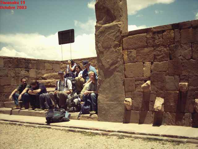
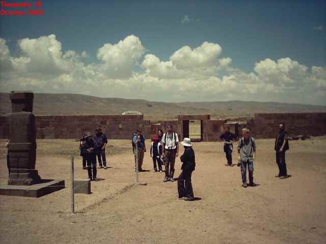
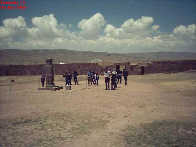
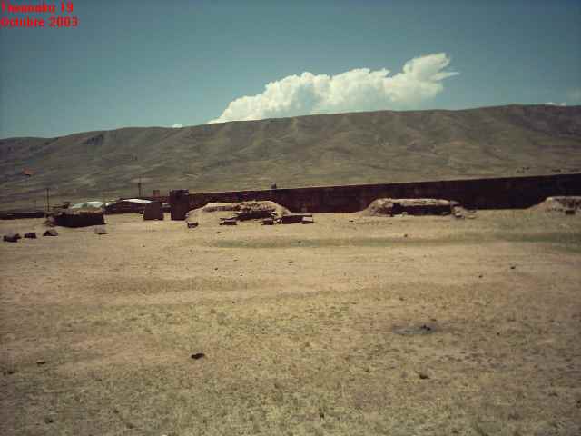
It is not a very impressive site by the standards of the average tourist, but then I don't consider myself the average tourist. The site is interesting because of its controversial history, or rather the alternate theories thereof. Unfortunately, most of the site was dismantled by the Spanish and later settlers, who used its stones in building the nearby town and railroad. Most of the statues and other valuable art pieces were removed long ago, leaving the site rather barren in appearence.
|
|
|
|
|
|
|
 |
|
|
 |
|
|
|
|
|
|
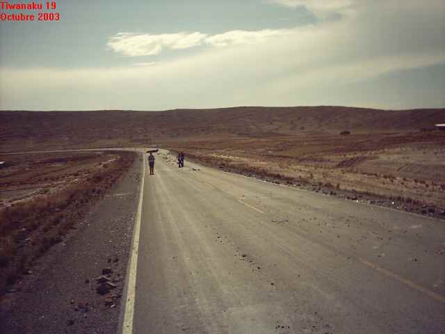
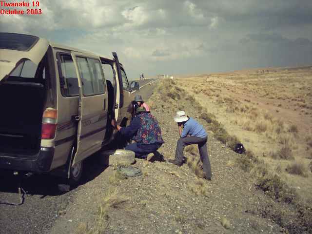
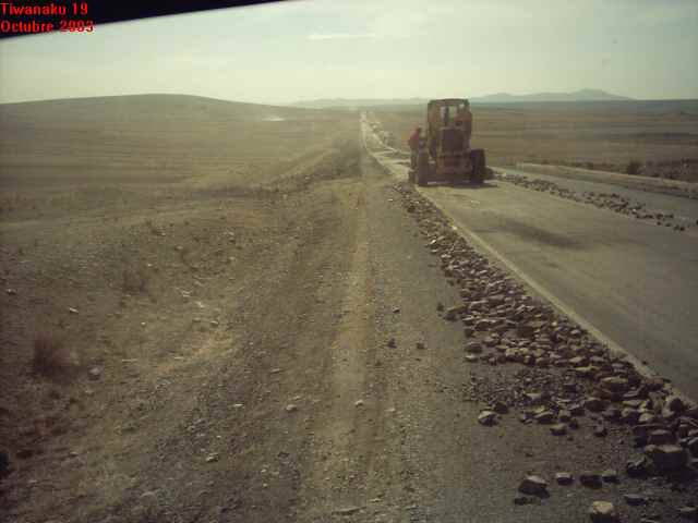
Tiwanaku is a set of pre-Inca ruins that resides on the altiplano (high plateau) of Bolivia at a height of around 12,500 feet. To get there our driver and guide drove us through the low rolling hills, which were covered in dry grass. The usually empty countryside was occasionally interrupted by small settlements or groups of houses made from mud-brick. It really makes you appreciate what you have when you see people living in abject poverty, which we saw a lot of in Peru and Bolivia. Despite the hardships, however, the people that we met were all wonderful and very friendly, so that we always felt welcome in our travels in South America. |
|
|
|
|
The trip from La Paz took about three and a half hours. When we arrived, we went into several museums there at the site.
I was disappointed to see that photography was forbidden inside the museum but i saw this so late that I already had made some pictures.
The museum contained a few statues that had been recovered from the site, including a very nice piece
If anyone knows the name of this god (statue) or has any background info on it, please |
|
|
|
|
|
|
 |
|
|
|
Another subject of interest in the museum was a display discussing an ancient form of agricultural irrigation. A modern archeologist had figured out that the raised areas in ancient fields were surrounded by troughs of water. The water would be heated by the sun during the day, and would radiate that heat back onto the raised areas during the freezing nights on the altiplano. That little bit of heat was enough to keep the frost from destroying the crops, and the resulting produce was far larger in size and quantity than the methods that are currently being used by the local people. The archeologist managed to convince some local farmers to try out the old method (though it was a hard sell, as the locals considered anything from the 'ancient ones' to be taboo). The potatoes that came from the test fields were much larger than the stunted examples that usually were raised in the harsh conditions of the altiplano. There is now hope that this rediscovered ancient farming method will provide more sustenance for the local peoples, if the technique can gain wider acceptance. |
|