![]()
TELESUPPORT-INDIA

![]()
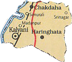
‘Two-way communication between rural
communities in India and Knowledge Centres and Expert Networks in India
and Europe’
The project will create a European-Indian framework for cooperation
linked to associated international networks
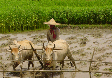
Direct
beneficiaries are participating women and farmer groups in local
communities who will have enhanced access to information, while Indian
NGOs will benefit from improved information services for their extension
programmes.