Brief report:
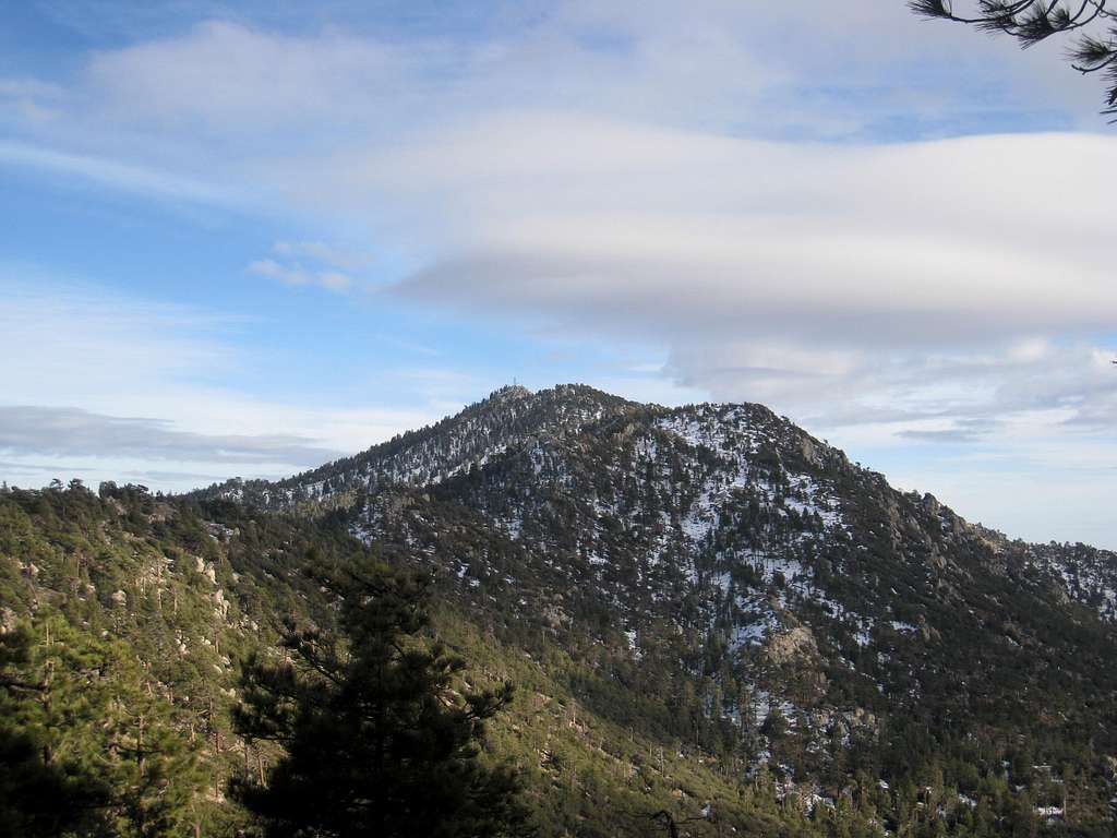
This was a spur of the moment hike. Left late morning from San Diego. I was only able to drive on forest route 7S02 (aka Santa Rosa Truck Trail) only 4.8 miles in from the turnoff on SR 74....where forest road 7S02 meets Garnet Queen Creek at approx. 6,200 feet. Snow and ice forced me to park here which meant a long hike in to the peak (~ 7 miles to the summit). I didn't help that I started the hike at the late hour of 2:01PM on a winter day. Also, I made the mistake of wearing my tennis shoes and not bringing enough water (ate snow on the way down). Anyway, I had to break trail for a couple of hours. Feet were moist/wet from the snow. I made Toro's summit at 5:05PM. The descent took longer than the ascent. I finally reached my car at 8:40PM (~ 6.5 hrs roundtrip, 14 miles)..
Additional info about climbing Toro Peak can be found here.