 |
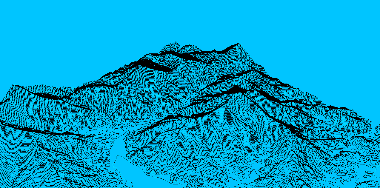
| Created in ArcGIS 3D Analyst, this is one of the views created after processing a DEM to generate contour lines and render a 3 Dimensional image. Of course, it loses a bit of its charm when saved as a .gif. |
| The same holds true with fly-throughs that are created in 3D Analyst and then converted to .avi files. It is still a good presentation tool for small screens, but if you need a large format (like for a big screen PowerPoint) this is not what I would suggest using. I may post a 3D .avi soon. |
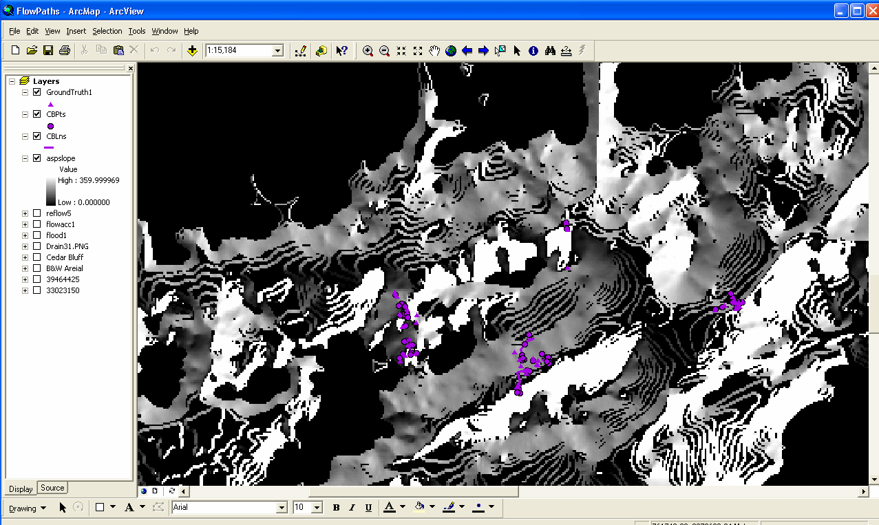 |
| A flood analysis project from the Fall 2004 Semester at Pellissippi State Technical Community College. The displayed map is a combination of aspect and slope for a portion (Cedar Bluff) of the Bearden DEM in Knox County, TN. The Purple dots and lines are GPS points and lines that were observed in ground truthing. Other images of this analysis will be posted in the future. The project was a success and the results were impresive and shocking. I learned much more than I anticipated in that class (Image & Raster Analysis). |