|
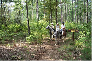
Georgia Pinhoti Trail (continued) The trail is the result of many hours of work by the U.S. Forest Service, concerned citizens, government officials, and volunteer trail workers. The goal now is to minimize and eventually eliminate the need for any road walks along the route. There
are two major sections where we need to acquire land or right
of ways to make the connections. One is between Cave Spring in
Polk County and the Simms Mountain Trail north of Rome in Floyd
County. The other is from Dug Gap in Dalton to Ramhurst in Murray
County. To complete this vision the GPT needs your help and donations.
You can get further information about the trail at the GPTA website
www.georgiapinhoti.org.
You can support the trail by volunteering or making a donation
to the GPTA.
To view actual topographic maps with the trail overlaid on the map, go to the Northwest Georgia Southern Off-Road Bicycle Association website at www.nwgasorba.org and review the various maps on their website. Click on the Trail Maps button, and then select the trail section of interest.
|