 |
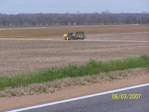
| The view to the west is agricultural. The river can be seen from time to time on the east side of the levee road. |
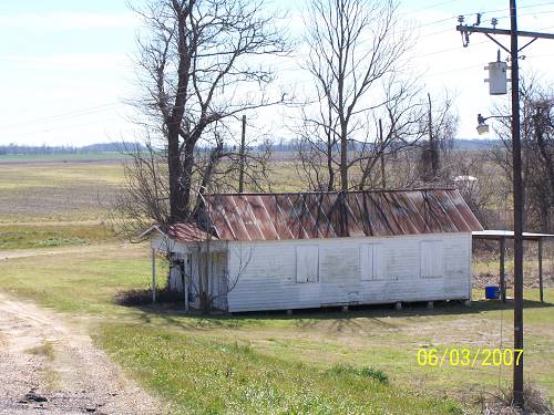 |
| There is little left to show of any history. This old store is a rare glimpse back. This area is called Blackhawk. There was an ironclad in the Civil War called the Blackhawk. Hum? |
 |
| I came off the levee and was immediately confronted wtth the Mini-Castles of Lowlandria. The surfs must have been polishing. |
| A mile or so before Deer Park, I saw a sign telling of an RV park there. I figured it had to be on the water and it might make a neat place to camp sometime. It wasn't very "up to date" and there was a lot of junk around that didn't add to the atmosphere. Then I saw it. |
 |
 |
 |
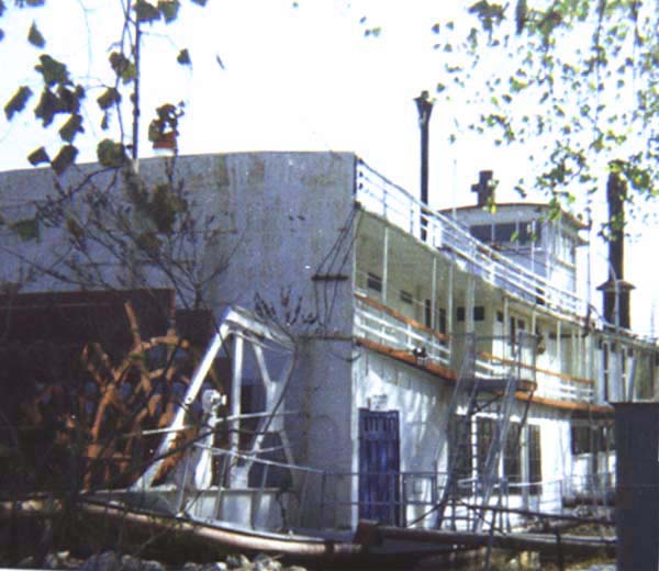 |
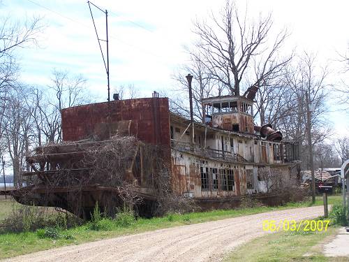
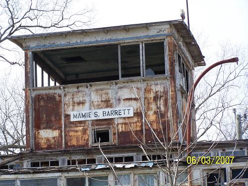
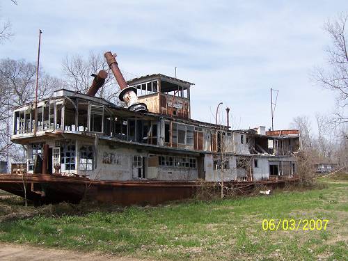
| Above, now. Below, 1978. The Mamie S. Barrett was built in 1924. |
| The story and pictures, like the one above can be found Here (a few pictures) and Here, (some itnteresting stuff). But the best site is HERE, THIS IS HER STORY |
| I figured that the boat was not that old but a replica. NO, it was a work boat that had been converted. The trip could have ended here and I would have been satisfied. But it didn't. I crossed the Mississippi at Vidalia and a whole new trip began. |
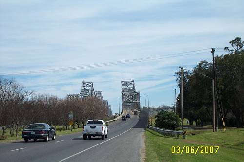 |
| "Good shot of the bridges going from Vidalia to Natchez. To your left is a liquor store called McDonoughs. Drive through daquiri place, too. Used to be a regular stop. Still is when I'm that way. The bridge that heads to Natchez is the 'new' one. I remember it being built as a child and the [old one] leading into Vidalia was two way. I 'think' I remember having to cut through Canal Street in Natchez and having to pay a toll to cross". |
| Below is a note from a reader reguarding his memories of the area. |