 |
 |
 |
| Page 6 |
 |
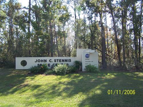
| There were guards at the gate with guns. I guess you still can't just ride through. They test rocket engines there. All the land is bought up around it cuz they are the ultimate loud neighbor. |
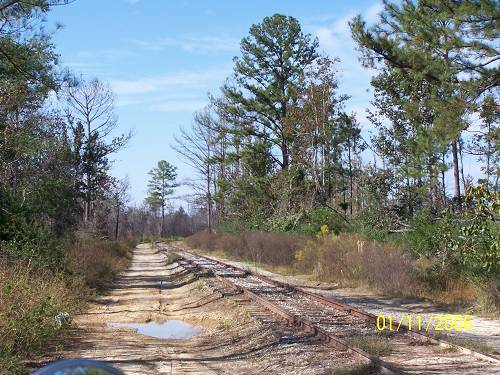
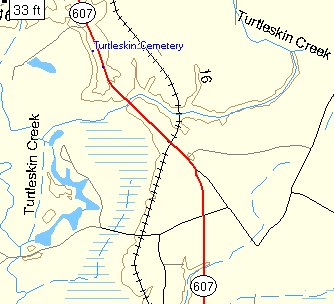
| This map features Turtleskin Creek and Turtleskin Cemetery, Highway 607 and that rairoad. |
| Or rather, this railroad. |
| Finding stuff on a map is a lot of fun. Finding a map that has your pictures on it is more fun. Garmin US Topo is what I use to identify the old cemeteries and railroad tracks.It is a spur of the Norfolk Southern Railroad. Knowledge is Power. |
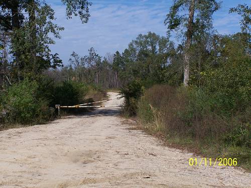
| Both of my map programs show this road returning to I-55. I'm sure it does, but it's not for everyone.. That is not shown. |