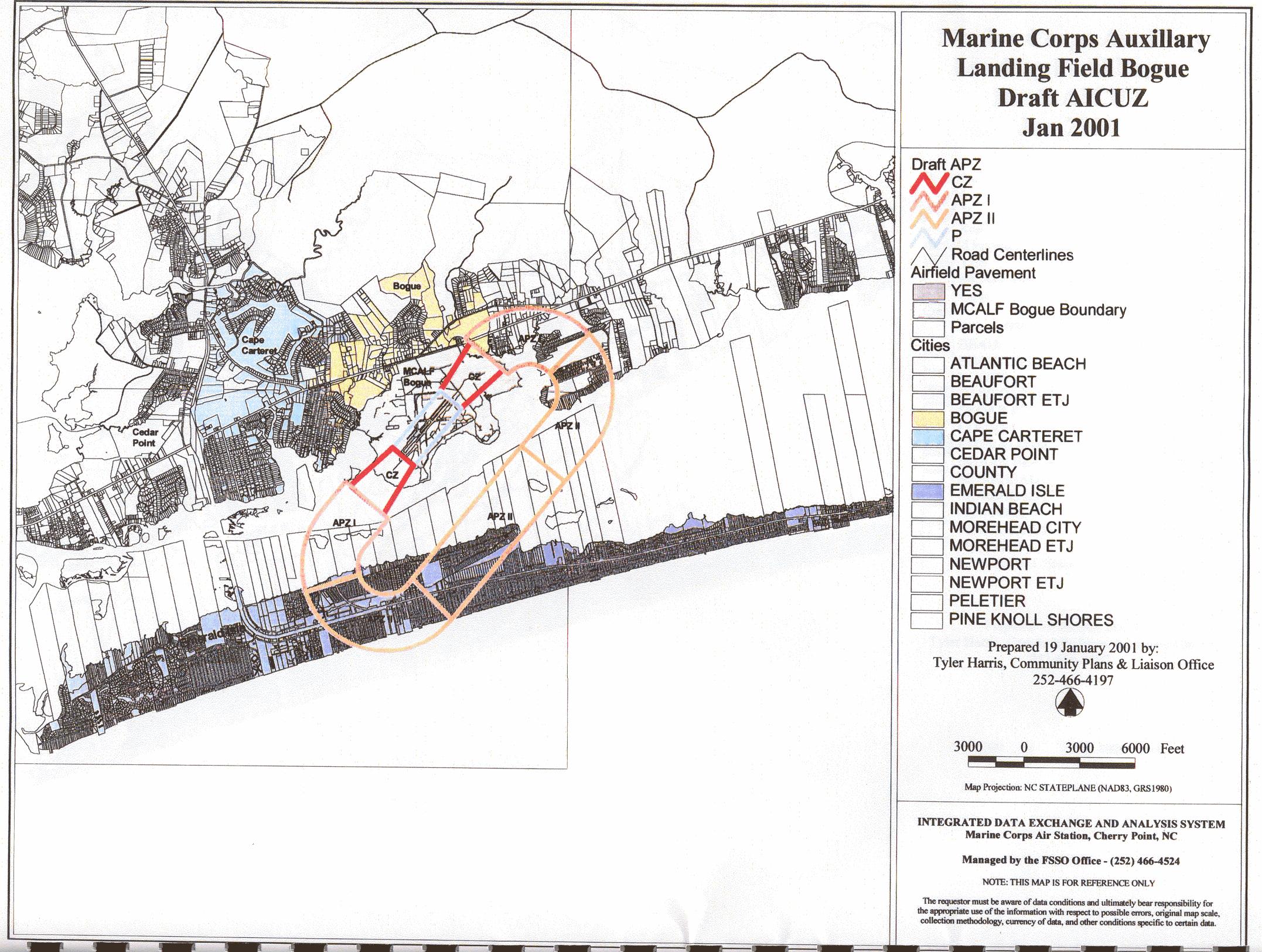
The Department of Navy's Guidelines state that, for safety reasons, residential development is prohibited in APZ I and APZ II zones limit residential development to 1 to 2 single-family houses per acre and, because of density and concentration of people, prohibits condominiums, town houses, shopping centers, churches, daycare centers, movie theaters, restaurants, gas stations and auditoriums.
Since we live, work, shop and play in these zones we are entitled to the risk assessment done by the USMC that measures the risk to civilians of a low slow flight pattern of the AV 8B Harrier over populated areas measured against the mission of Bogue Field. The guidelines of the DoN require such an assessment and civilians should have access to the USMC safety documents.