 |
|
 |
| A small ledge early in the trip. | Bill Hamill dropping over a ledge, photo by John Van Luik | A log across most of the creek complicated this rapid. |
Back Creek (Bath County - James River watershed), VA
The Mountain Grove gauge on Back Creek was 440 cfs or 3.66' when these pictures were taken.
|
|
|
| A small ledge early in the trip. | Bill Hamill dropping over a ledge, photo by John Van Luik | A log across most of the creek complicated this rapid. |
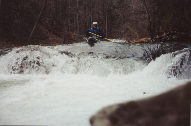
Jim Farrell at one of the ledges on Back Creek:
 |
|
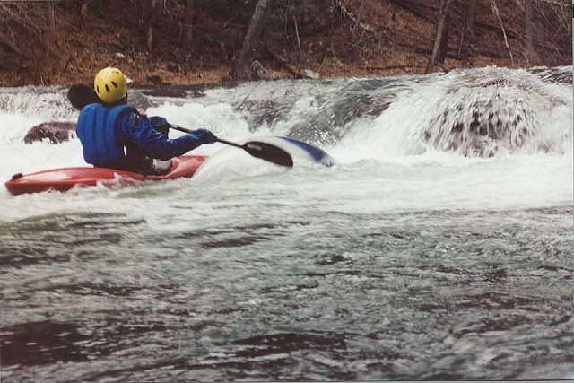 |
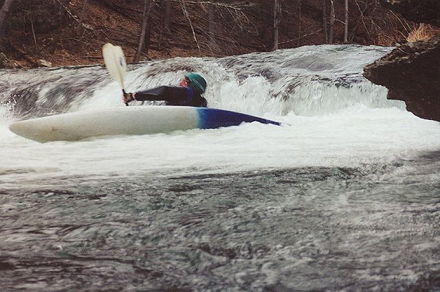
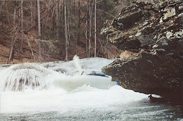
| Flipping over? | Staying upright? | Upside down. |
My thoughts on this stream:
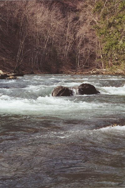
It is comparable to the Maury River at the lower end of Goshen Pass below Indian Pool, perhaps Back Creek is somewhat easier. It has lots of class 2 rapids with maybe two or three class 3 ledges. The section of stream visible from Route 39 just below the gauge is typical of most of the run, except for the ledges.
As noted in Ed Grove book, Classic Virginia Whitewater, permission to run this stream is needed from the Boiling Springs Rod and Gun Club. The overseer at the club said that another landowner in gorge was giving paddlers trouble (I don't know how much), but we decided to run it anyway and did not see anyone after leaving the vicinity of Route 39.
All pictures linked from above are Copyright 2001 by Bill Hamill. Duplication for personal use is permitted.