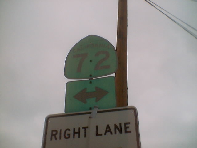
Route 72 is from Route 39 to Atlantic Boulevard near the City
of Los Angeles, except as follows:
(a) Route 72 shall cease to be a state highway when Route 90
freeway is completed from Route 5 to Route 39.
(b) Notwithstanding subdivision (a), any portion of Route 72 from
Route 605 to Atlantic Boulevard shall cease to be a state highway
when the County of Los Angeles, the City of Montebello, and the City
of Pico Rivera complete the reconstruction of their respective
portions of Whittier Boulevard approximately between these two
limits. [CS&HC Sec. 372]
State highway routes embracing portions of Routes 280, 82,
238, 101, 5, 72, 12, 37, 121, 87, 162, 185, 92, and 123 and connecting
city streets and county roads thereto, and extending in a continuous
route from Sonoma southerly to the international border and near the
route historically known as El Camino Real shall be known and
designated as "El Camino Real." [CS&HC Sec. 635(b)]

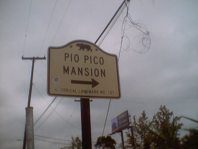
 Wedged between the San Gabriel River and Route 605 on Route 72
is the Pio Pico State Historic Park, named after the last governor of
Mexican California. On this site, Pico built a mansion which
functioned as the center of operations for his 8,891-acre ranch. The
park is accessible on Pioneer Boulevard, immediately west of the
Route 605 overpass. Additional information is provided here.
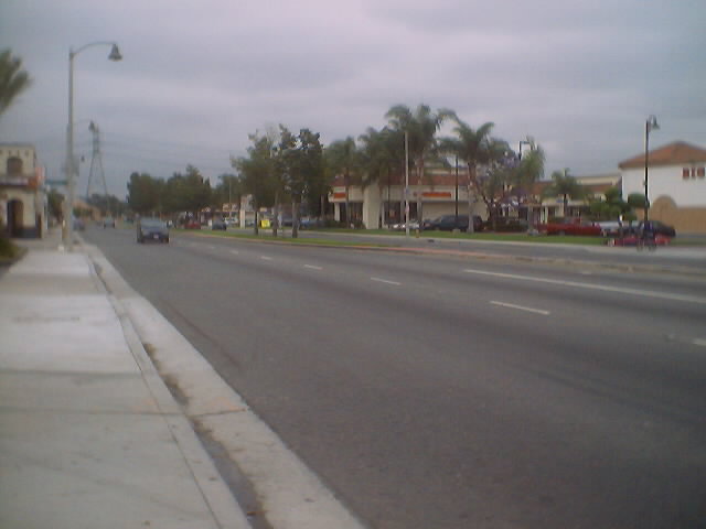
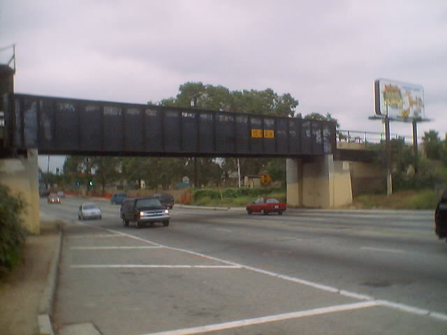
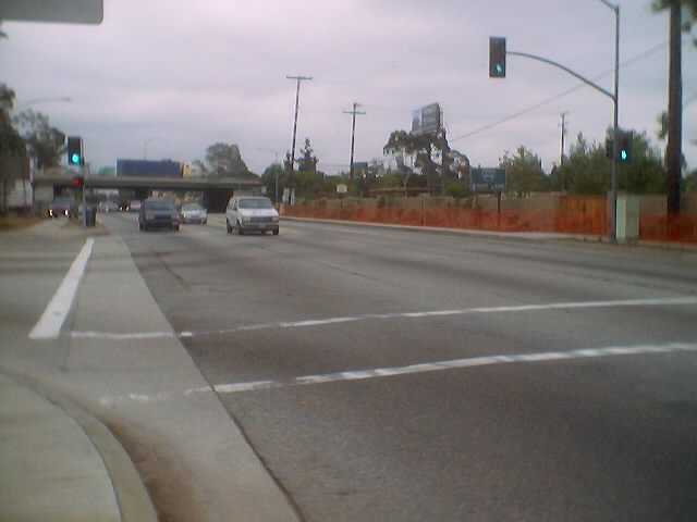
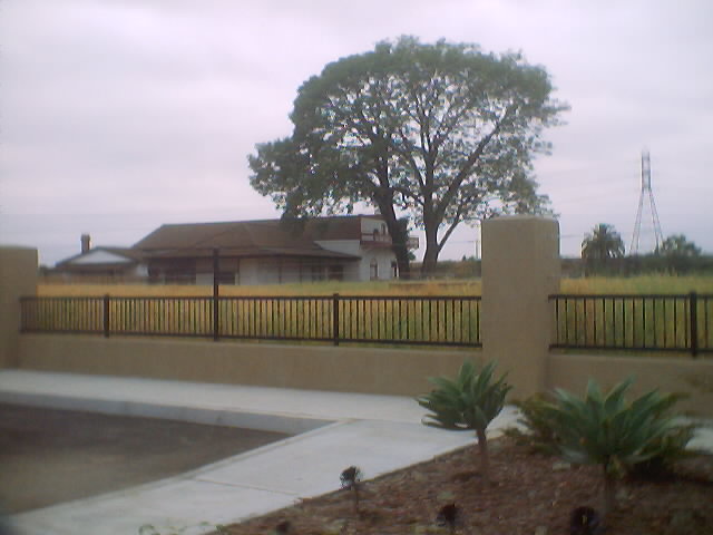
Route 72 begins in La Habra and passes through Whittier.
Wedged between the San Gabriel River and Route 605 on Route 72
is the Pio Pico State Historic Park, named after the last governor of
Mexican California. On this site, Pico built a mansion which
functioned as the center of operations for his 8,891-acre ranch. The
park is accessible on Pioneer Boulevard, immediately west of the
Route 605 overpass. Additional information is provided here.
Route 72 begins in La Habra and passes through Whittier.


 |
 |
 |
 |
 |
 |
 |
 |
 |
 |
 |
 |
 |
 |
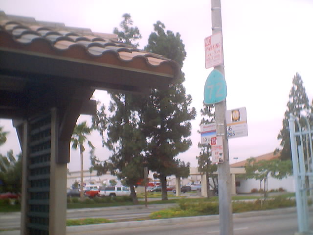
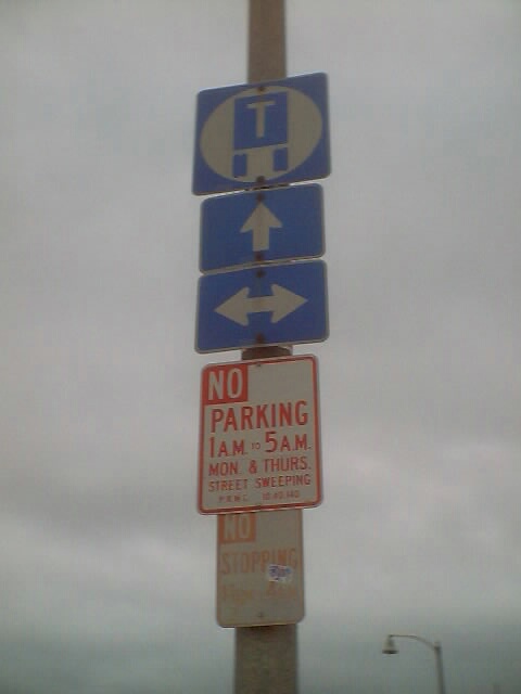
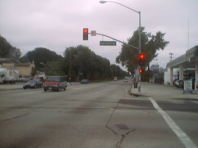
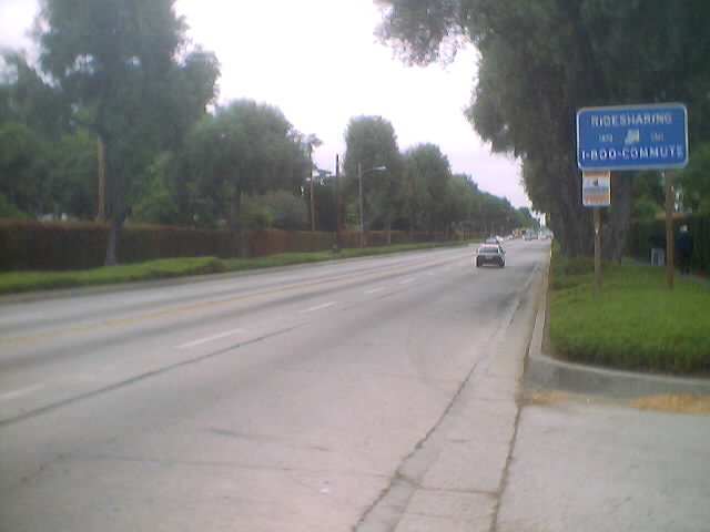
 Route 72 runs entirely on Whittier Boulevard.
Additionally, from Daniel Faigin's website: "An existing permit
allows the closure of this route to all vehicular traffic, except
emergency traffic, between Eastern and Atlantic Blvd on Friday,
Saturday, and Sundy nights between 9:30 pm and 5:00 am. This permit
was granted to reduce the "cruising" that was occuring on the route on
those evenings."
California State Highways (Pull-down)
California State Highways (Tables)
The Main Page
Route 72 runs entirely on Whittier Boulevard.
Additionally, from Daniel Faigin's website: "An existing permit
allows the closure of this route to all vehicular traffic, except
emergency traffic, between Eastern and Atlantic Blvd on Friday,
Saturday, and Sundy nights between 9:30 pm and 5:00 am. This permit
was granted to reduce the "cruising" that was occuring on the route on
those evenings."
California State Highways (Pull-down)
California State Highways (Tables)
The Main Page