
Plans are afoot to construct a four-lane expressway from the current two-lane conventional highway between Routes 43 and 99. This project would connect the two freeway segments. This is the California Transportation Commission's TCRP Project #111.


Route 198 from Route 5 near Oilfields to the Sequoia National Park line. [CS&HC Sec. 253.7]


Route 198 from:

Route 198 slices through the county seat of Kings, Hanford. The city preserves numerous historical buildings, including the Artesia Hotel and the Opera House. Every July, the Kings Fair is held near the airport. An Amtrak station serving the San Joaquins line is accessible. If you plan to stay in Hanford, there's a Comfort Inn. From Route 198 westbound, exit at Redington Central District and make a right on 6th Street; from Route 198 eastbound, exit at Douty, make a left, then another left at 6th Street. For more information on visiting Hanford, visit the Hanford Chamber of Commerce page.
Route 198 also crosses the county seat of Tulare, Visalia. The College of the Sequoias is at the Mooney Boulevard (South Route 63) exit. Before entering Sequoia National Park, you may lodge at the Comfort Suites. Head north on Route 63 to Acequia Avenue, which is not too far from Route 198, and turn right. A Holiday Inn is located on the Plaza Drive exit.
Route 198 ends at the gate to Sequoia and Kings Canyon National Parks.


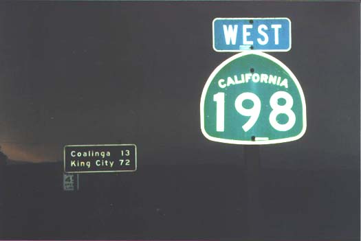
Following Route 198 will take you through Coalinga, San Lucas, Hanford, Lemoore, and Visalia.
The truck stop at Route 5 near Coalinga is very important for the ones who travel on the I-5. For those who travel on Route 198, it's a question of personal taste. There are many restaurants and gasoline stations there. If you look hard enough, there's a mini-market behind the gas stations. If you are looking for a good night's rest and also have an inkling for fine dining, quality beef, and Central Valley hospitality, visit the Harris Ranch, on the east side of Route 5.
Route 216 is accessible at Lovers Lane in Visalia.
The road that continues past Route 198 through Sequoia National Park is generally known as the "Generals Highway" and has an 8% grade. Route 198 from Visalia to Route 65 is also known as the "Orange Belt Highway".

 |