Route 159 is from:
(a) Route 5 near the Los Angeles River to Route 134.
(b) Route 134 to Route 210 near La Canada. {CS&HC Sec. 459. 1964}
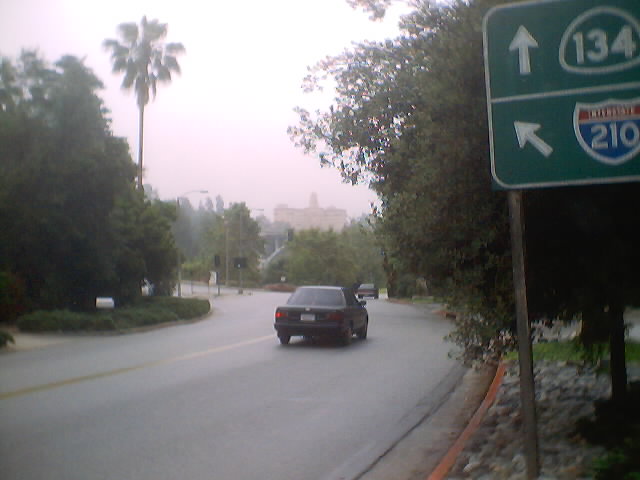
Route 159 is from: Route 134 to Route 210 near La Canada.
This route shall cease to be a state highway when Route 210 freeway
is completed from Route 134 to Linda Vista Avenue and the commission
relinquishes that portion of present Route 210 from Route 134 to Linda Vista
Avenue. {CS&HC Sec. 459. 1970}

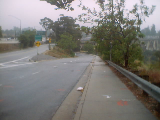
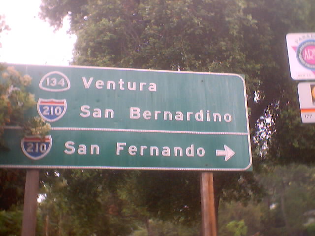
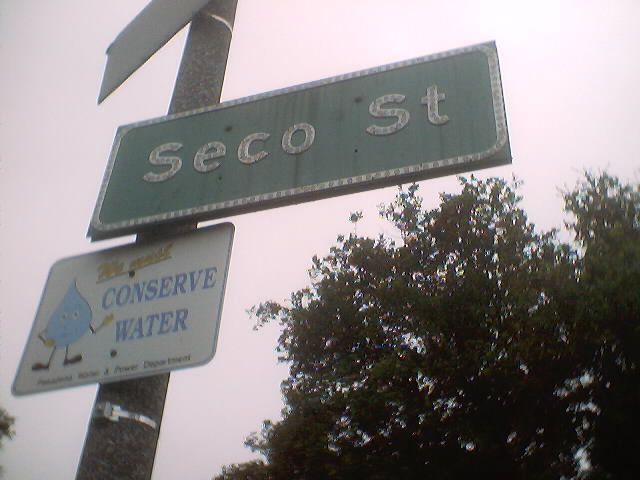
 The major point of interest on this former route is the Rose Bowl.
You may access it at Seco Street.
The major point of interest on this former route is the Rose Bowl.
You may access it at Seco Street.

 |
 |
 |
 |
 |
 |
 |
 |
 |
 |
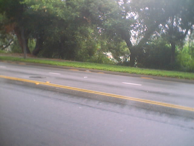
 Route 159, portion (a), was a former routing of Route 66 on
Figueroa Street.
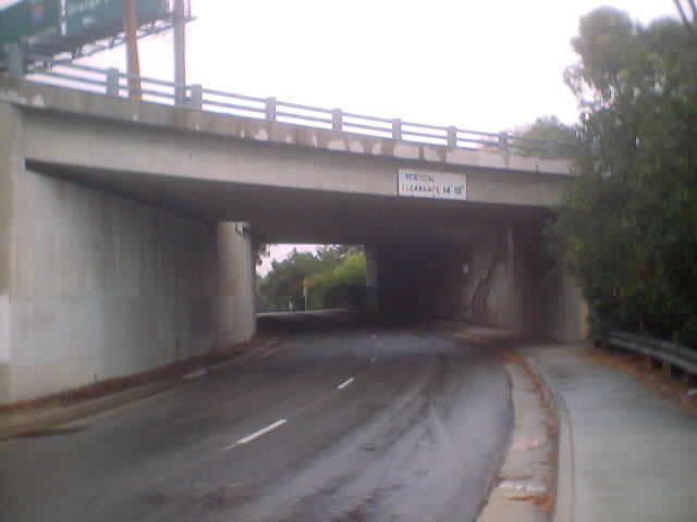
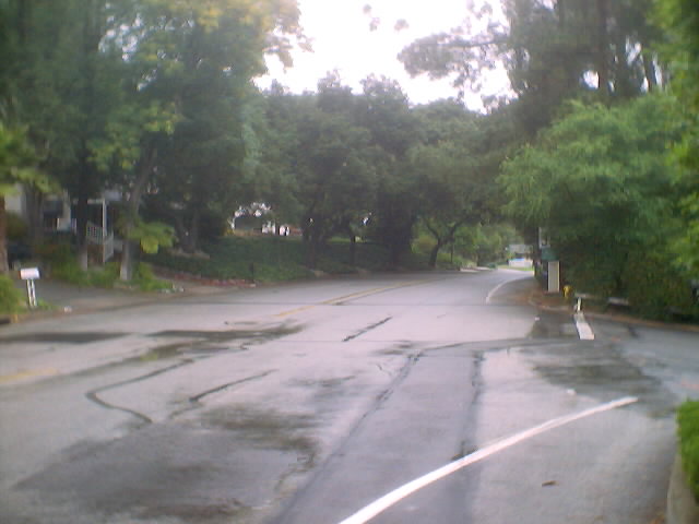
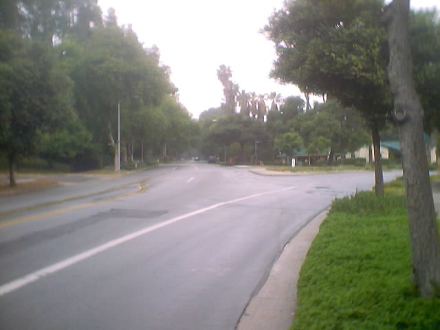
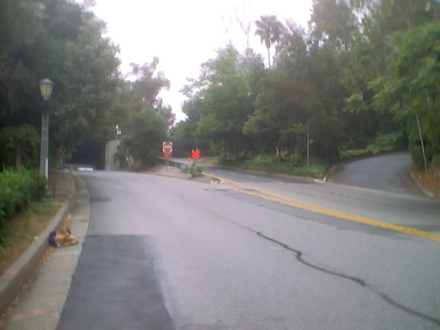
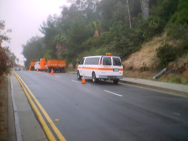
Route 159, portion (b), ran entirely on Linda Vista Avenue. This
route can be seen in many maps before 1994, including the 1993 Thomas
Guide, where it made its final appearance. Presumably, it was never
signed, but many state highway relics, including the button-copy signs
and the highway-like use of reflective road markers, are still there.
California State Highways (Pull-down)
California State Highways (Tables)
The Main Page
Route 159, portion (a), was a former routing of Route 66 on
Figueroa Street.
Route 159, portion (b), ran entirely on Linda Vista Avenue. This
route can be seen in many maps before 1994, including the 1993 Thomas
Guide, where it made its final appearance. Presumably, it was never
signed, but many state highway relics, including the button-copy signs
and the highway-like use of reflective road markers, are still there.
California State Highways (Pull-down)
California State Highways (Tables)
The Main Page