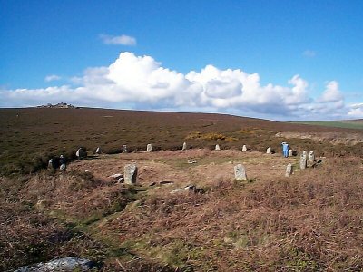
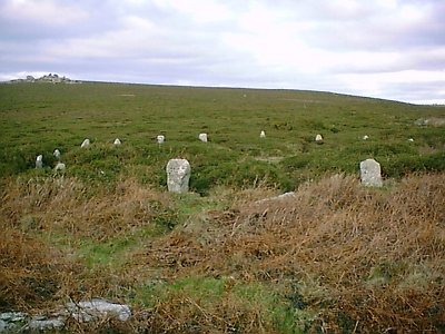
TREGESEAL STONE CIRCLE, ST. JUST
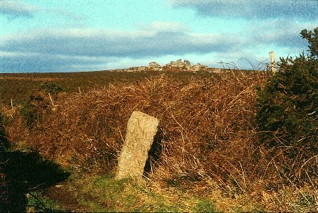
This is the Eastern of two circles, much restored. A Western circle recorded by 19th century writers has been lost, although a stone by the hedge leading to the site is thought to be a lone survivor of it. The circle lies at the edge of moorland, and is marked on the Ordnance Survey "Explorer" Map 102 between Hailglower Farm and Truthwall Common. It is best approached from Tregeseal, and on foot.
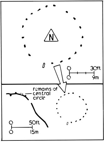
Plan of site © Craig Weatherhill, Belerion - ISBN 1 871060 32 X
Map Grid reference SW 387324
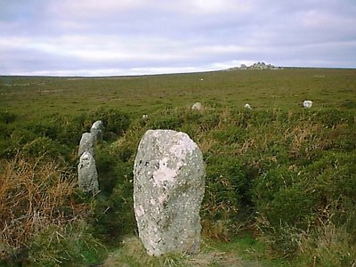
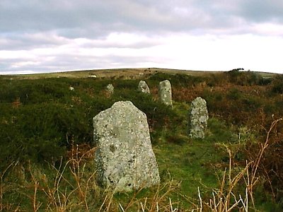
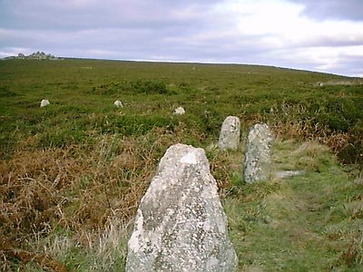
Views of the Circle. Carn Kenidjack, a natural granite formation, can be seen in the distance in some views:
Possible Western Circle stone on the approach path: