SACRED SANCREED - THE WELL
Map Grid reference SW 419294
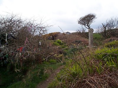
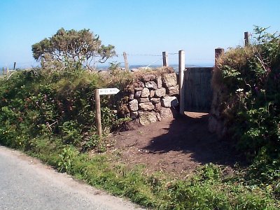
Sancreed Well is a short distance from the Church, and a sign opposite indicates a public footpath. This footpath is not popular with at least one local landowner, and an alternative "permissive" path has been carefully made available (2001) from a gate in the hedge on the St. Just to Sancreed road, which is illustrated on this page. I need to return to this well to take more or better photos, so at present this page should be regarded as incomplete
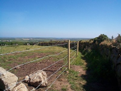
The new path from the St. Just Road (2 pics):
This modern cross was erected near the well in honour of long-time carers of the site: