MADRON CHAPEL and WELL
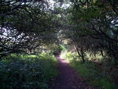
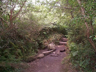
This site, like most of the ancient sites in West Cornwall, is very much "off the beaten track." No road leads directly to it, only a footpath. It is not visible from any road, and dates from the 12th Century
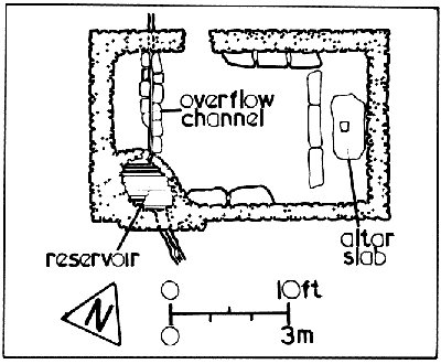
Plan of site © Craig Weatherhill, Belerion - ISBN 1 871060 32 X
Map Grid reference SW 447328
The footpath leading from the main road:
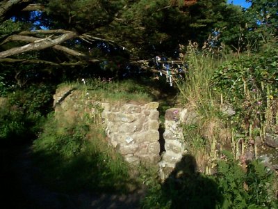
The North (and only) entrance to the chapel:
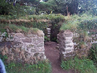
A closer view of the entrance:

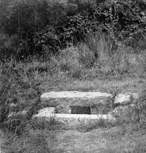
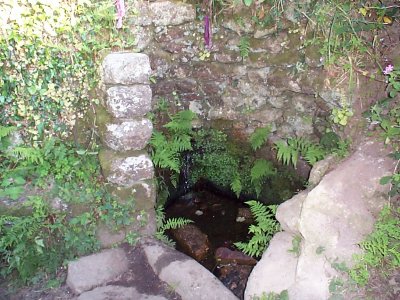
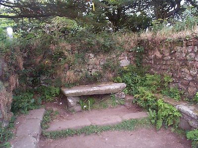
Below. A view of what is popularly thought to be a baptistry, it is often mistaken for the ancient Holy Well, the site of which is nearby, although the well itself is no longer visible. A regular supply of water flows into this reservoir from a stream towards the south.The chapel is aligned roughly South-East to North-West, as are some other ancient sites, especially the underground chambers called "fogous." This may be due to the fact that in this part of the world (approximatley 51ºN) the Sun sometimes appears at dawn in the South-East and sets in the North-West
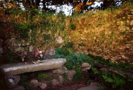
Interior views of the chapel showing the altar:
A view of Madron Well circa 1936: