 |
|
Morven is a much more shapely hill than the wart on the side of Clachnaben. Not exactly challenging navigationally, but there’s a good deal more height to it. It’s only a little short of the 3000ft tidemark that distinguishes the “Munro” hills from the rest of the hills, and it amply demonstrates the stupidity of such arbitrary lines in the sludge. Morven (formerly on the maps as “Morrone”) is a far finer hill than many that sneak into the lists for being a mere 150ft taller.
Location: full OS reference 337700, 804000, or in the 100km squares NJ 377040. Paying a little attention to those grid refs and these links to a small scale map, a large scale map, and an intermediate scale map (these maps should open in a new window, but you know how fragile these things are).
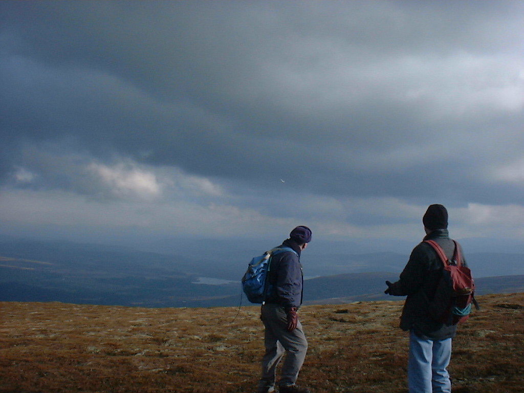
 Unfortunately,
I didn’t dig the camera out until we were near the summit,
grabbing a bit of shelter and lunch:
Unfortunately,
I didn’t dig the camera out until we were near the summit,
grabbing a bit of shelter and lunch:
 There’s
a fairly large cairn on the summit, which we enjoyed with a break in
the weather:
There’s
a fairly large cairn on the summit, which we enjoyed with a break in
the weather:
 In
the weather break we spotted something that’s not too uncommon
in this area. About 10km from the hill is a popular aerodrome for
gliders to take off from (and most of the time, land). It’s all
to do with the combination of reasonably stable weather (in summer)
and orographic waves of air downwind from the mountains of the
Cairngorms. In case you can’t spot it, this one is almost
exactly in the centre of the picture.
In
the weather break we spotted something that’s not too uncommon
in this area. About 10km from the hill is a popular aerodrome for
gliders to take off from (and most of the time, land). It’s all
to do with the combination of reasonably stable weather (in summer)
and orographic waves of air downwind from the mountains of the
Cairngorms. In case you can’t spot it, this one is almost
exactly in the centre of the picture.
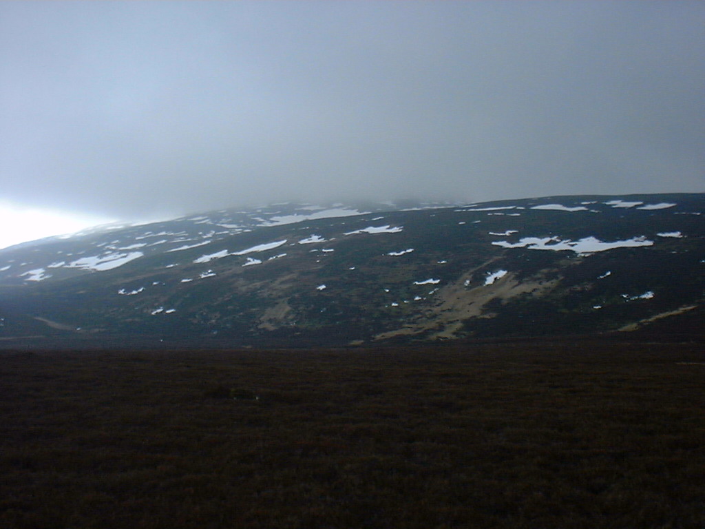 Typically,
the nice weather didn’t last long. Cloud chased us down the hill
as dusk approached.
Typically,
the nice weather didn’t last long. Cloud chased us down the hill
as dusk approached.
 We
took a detour to a standing stone at Midmar Church. What could the
people who erected this have been thinking of?
We
took a detour to a standing stone at Midmar Church. What could the
people who erected this have been thinking of?
Return to main page.