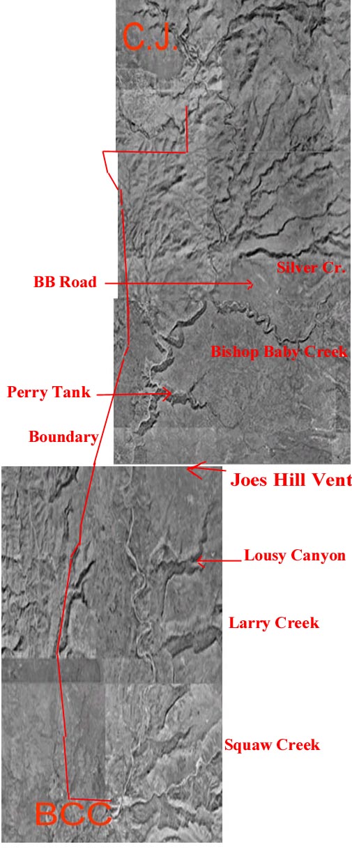
The below images were reproduced with permission of;
US Department of the interior
GEOLOGICAL SURVEY
EROS Data Center
Sioux Falls, SD 57198
(Below pictures are 32 meters resolution)
- AFNM...Vertical panoramic
picture of the AFNM. Below are individual pictures.
Use the
large BLM topo map to find details and monument boundries.
BCC=Black Canyon City & C.J.=Cordes Junction
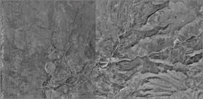
- Pix1...South end of monument
in center of pix just above BCC.
Agua Fria river to north. Squaw cr to right.
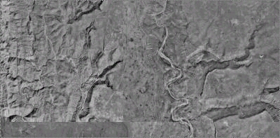
- Pix2...Moving North.
Agua Fria river near center. Larry cr, lower right.
Lousy Canyon above Larry cr
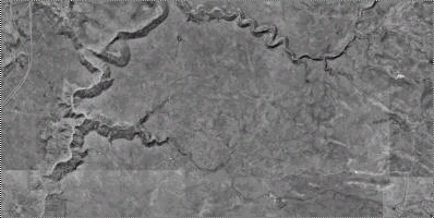
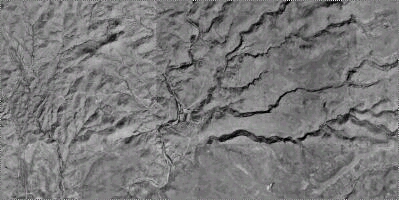
- Pix3...Moving North.
Perry Tank & Bishop Baby cr, feeding the Agua Fria.
Freeway to the left.
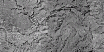
- Pix4...Moving North.
Bloody Basin road and Horseshoe Ranch is visable near
center of pix. Silver cr to right of ranch.
- Pix5...North end of monument.
Cordes Junction on left. Agua Fria river near center.