| Joes Hill Volcano, Virtual Field Trip |
|
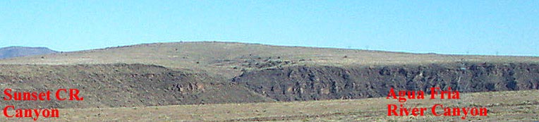
Joes Hill is the largest of several Hawaii type shield volcanos in the monument.
It is recognizable as a low hill located 3.2 miles directly
east of the I-17 sunset rest area. There have been at least six major flows of gas-free
and gas-charged basalt to andesitic basalt magma from the conduit. There is very little
pyroclastic material in the vent area.
The top flow has been dated as Miocene (~10.8 My).
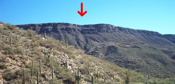
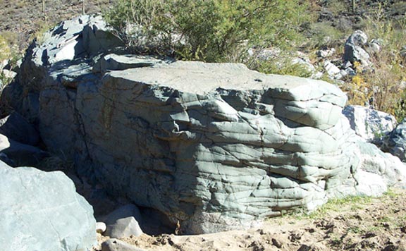
Most of the flows can be seen in the above picture.
The large canyon in the right forground is the Agua Fria river, some 1,120 feet
below the top edge of the canyon.
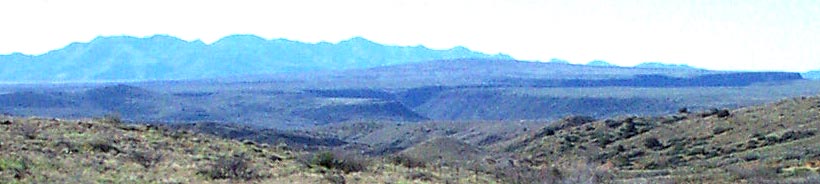
The Proterozoic granodiorite starts at ~2910 feet, which is about 3/4 of the way down
sunset creek canyon. The flows, which are ~583ft thick at this point,
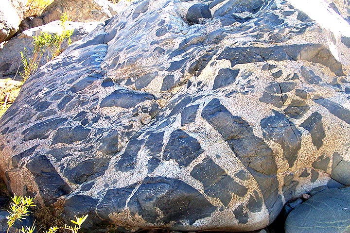
sit directly on Proterozoic granodiorite, there is only very small amounts of the slightly older
Proterozoic metamorphic rocks between the two major units.
The hills in the canyon bottem are basalt slump blocks that have broken off the sides.