| FISSURE PAGE |
|
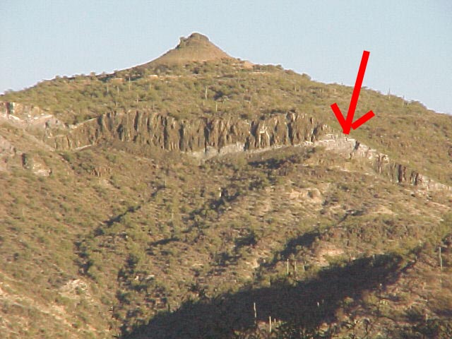
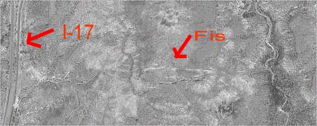
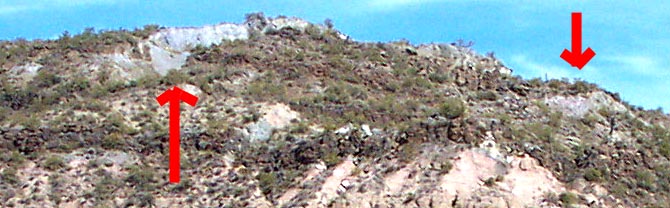
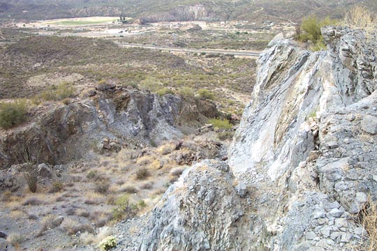
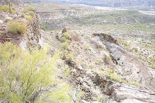
Over the last ~50 years, an east/west fissure zone has opened up
at the south-west end of Black Mesa. These rocks are tertiary volcanics
interlayered with
sedimentary rocks and are located in section 26 & 27
on the BLM AFNM or Black Canyon City, Topo maps.
The south end of the mesa (~400ft.) has broken off and moved a short
distance south and down.
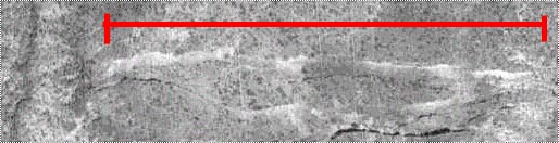
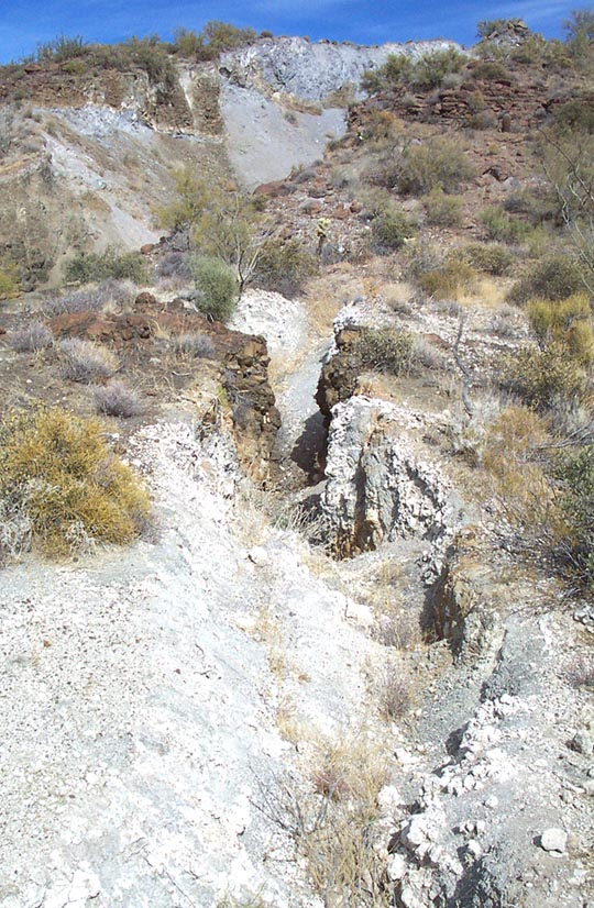
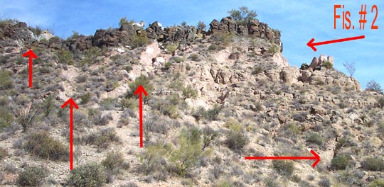
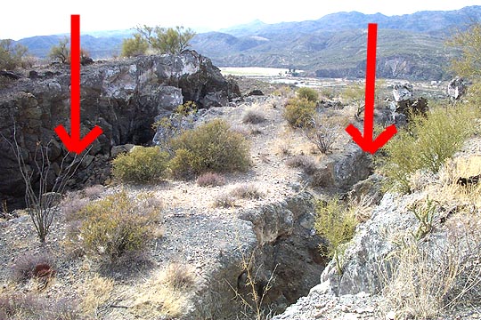
The North end of the zone starts at a large fissure
(Fis. # 1, ~1450 feet in length)
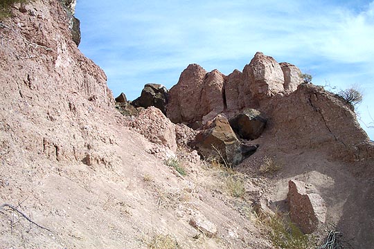
and consists of large and small tabular broken blocks.
The zone continues south ~350 feet to a second large
fissure (Fis. # 2,~1800 feet in length). The whole top and sides of the
broken zone are riddled with many small fissures and
sink holes...see pictures.
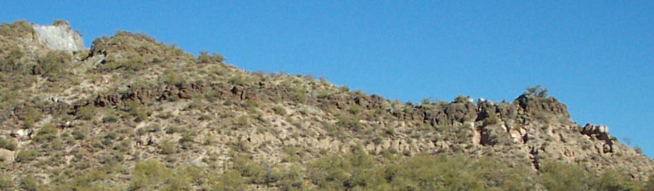
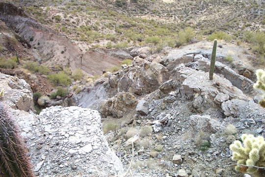
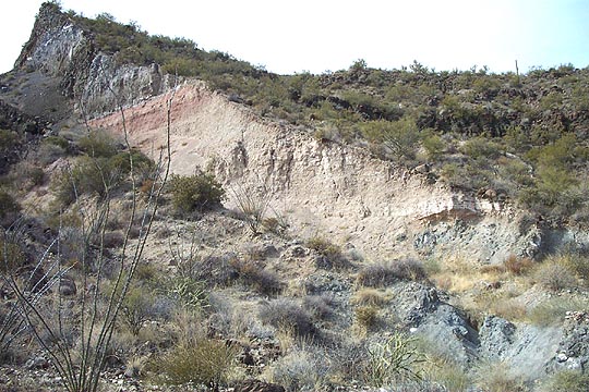
The top of this hill is solid basalt (Flow #3) and made up of at least two or three
flows that occured in rapid succession. Below, older basalt flows
are interlayered
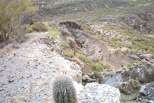
with sediments. See Column #1 diagram. Water erosion of the sediments below the top flow
may be causing
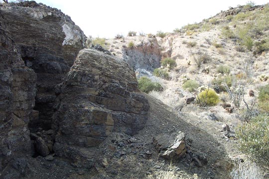
the fissures to form as blocks break off the top flow. This area may represent a
small potential geological hazard because there is a canyon below the Fissure zone.
There are houses and a road ~3/4 of a mile below the
Fissure zone. Please note, the zone itself is a dangerous location because of loose rock and
hidden small fissures, covered with soil.