|
BLOODY BASIN ROAD, VIRTUAL FIELD TRIP |
|
This Field Trip is under construction !
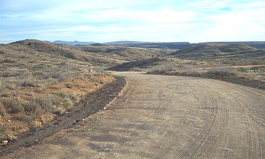
Bloody Basin Rd starts at exit 259 along I-17,
just several miles south of Cordes Junction. The road runs southeast
through the AFNM. NOTE: The road is not sutible for passenger cars.
This web page will feature only general geology features along the
road. Please refer to the BLM map of the monument for other information.
The first ~4.5 miles runs across protozoic basement rock of
the Cheery Springs batholith. Before you start up the hill you will
cross Silver creek near the Horseshoe ranch. As you go up
the hill you will enter
on to a tertiary basalt field of the Hickey formation. The main road
runs east on top of the basalt flows until it exits the AFNM.
The road continues on across Forest Service land.
- Bloody Basin Rd Map West.
...This large map is ((( on CD only ))).
- Bloody Basin Rd Map East.
...This large map is ((( on CD only ))).
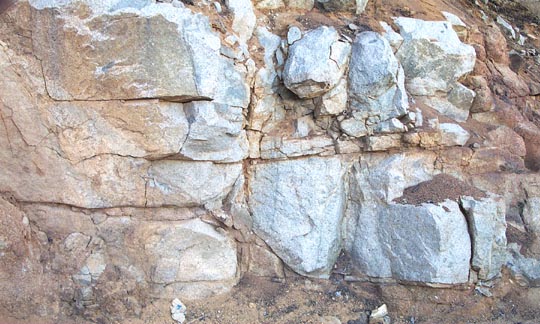
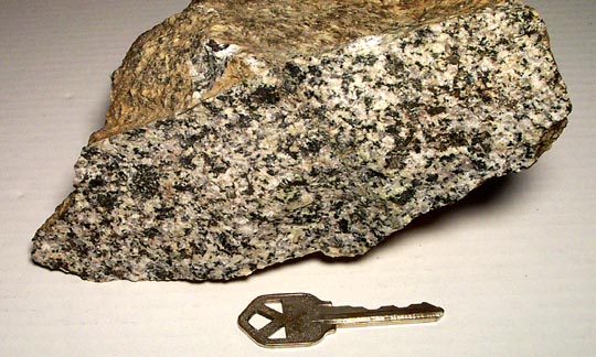
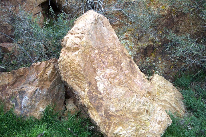
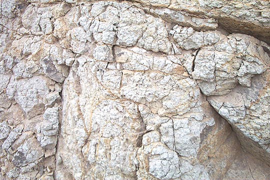
- Stop #1 ...Exit 259, Blocky, jointed Bumblebee
Granodiorite
~1.72 By in age. Granodiorite Picture.
The GPS
location is; N34, 17', 03.2" and W112, 07', 12.6".
- Stop #2
...Meta-andesite, on north side of road, across from BLM sign.
- Bloody Basin Rd. ...On Bumblebee
Granodiorite, looking S.E. toward Joes Hill volcano.
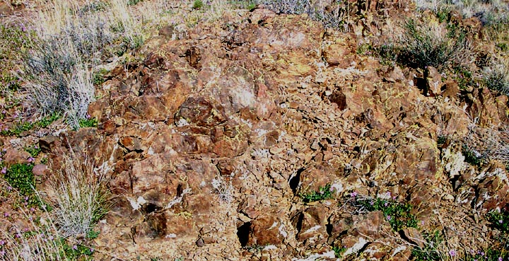
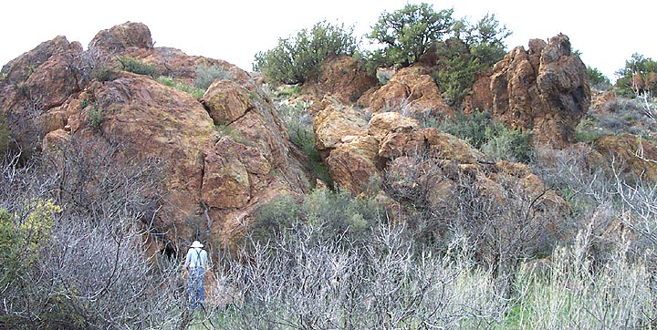
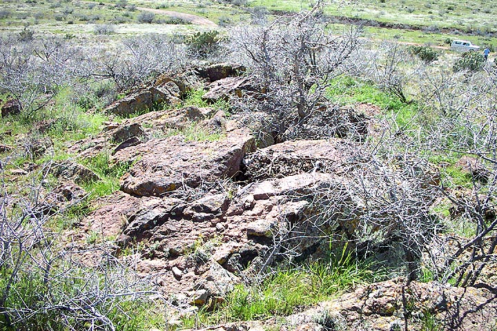
- Stop #3 ...Proterozoic Rhyolite.
- Stop #3 ...Close-up view 2 of Proterozoic Rhyolite.
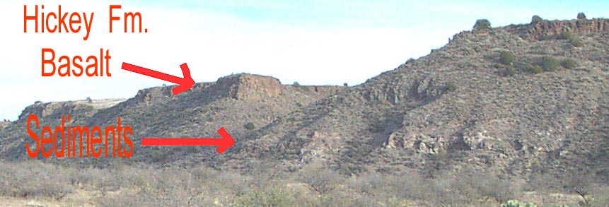
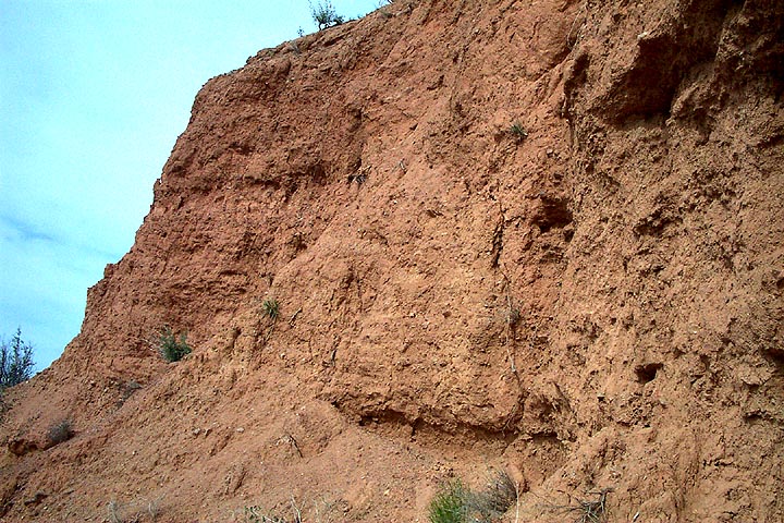
- Stop #4 ...Hickey Fm. Agua Fria
river canyon looking N.E.
- Stop #5 ...Another view of Hickey Fm. seds from the road.
- Stop #5 ...Panoramic view of Hickey Fm. seds. ((( On CD only)))
- Stop #5 ...Close-up view 1 of Hickey Fm. seds. Panoramic ((( on CD only )))
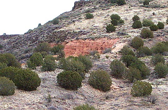
- Stop #5 ...Close-up view 2 of Hickey Fm. seds.
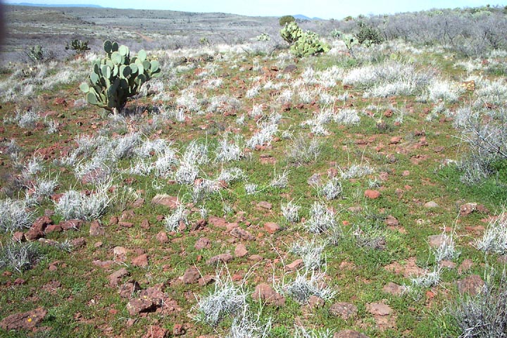
- Stop #6 ...Weathered Olivine basalt going up hill.
- Bloody Basin Rd. ...looking back toward west.
The mountains in the background are the Bradshaws.
Mafic hills are to the left & granodiorite hills to right. Panoramic ((( on CD only )))
- Stop #6, Red Hill ...Fissure vent, Red pumice and scoria were blown out
of this Fissure vent toward the direction of the car.
- Stop #6, Picture 1 ...Red Hill, Red pumice and scoria, Panoramic picture. Panoramic ((( on CD only )))
- Stop #6, Picture 2 ...Red Hill, Red pumice and scoria
- Rosalie Mine ...South of Bloody Basin Rd. near AFNM ((( On CD only)))
- Rosalie Mine area Volcanos ...South of Bloody Basin Rd. near AFNM ((( On CD only)))
- Brooklyn Mine ...South of Bloody Basin Rd. near AFNM ((( On CD only)))
- More to come