 |
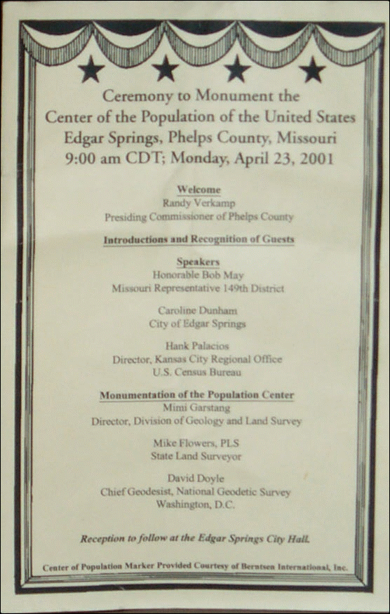
This is the program for the event. Click for larger image. |
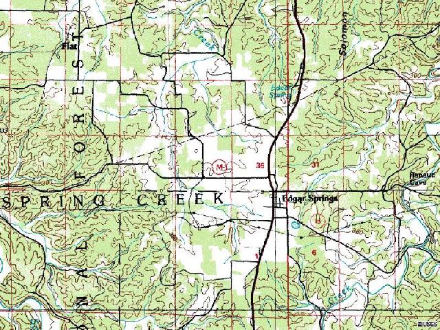 |
The monument site is east of the intersection of State Hwy M and US Hwy 63 (the main north-south road) on
the north side of Edgar Springs. The true mean center of population is located a few miles to the east of
town. A ceremonial plaque was placed in town. The event was captured on video by Census staff. See link at bottom of page. |
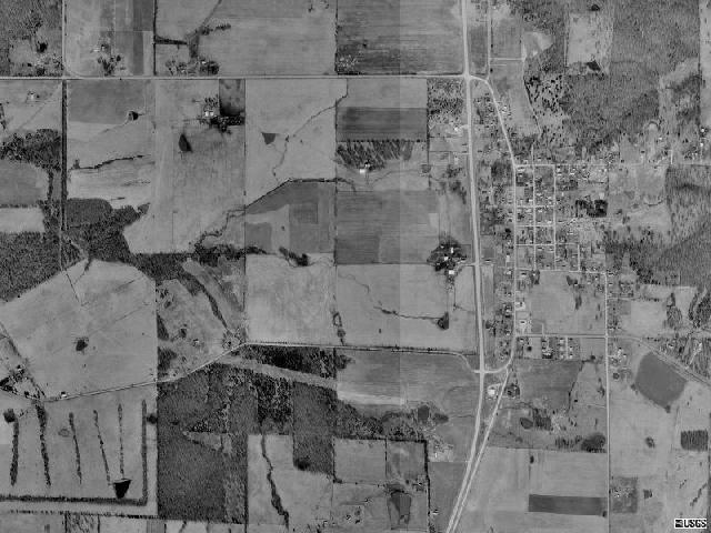 |
A view of Edgar Springs from the air. Edgar Springs is located in south central Missouri in the
scenic Mark Twain National Forest. The Census 2000 population of Edgar Springs is 190. The photographs
below were taken with a Kodak DC290 with a Garmin GPS III. Each photo is marked with the GPS coordinates. |
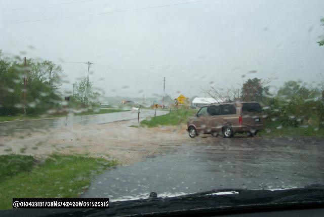 |
It was a rainy morning but the rain held off through the ceremony. This photo was taken south of the site
prior to the ceremony. |
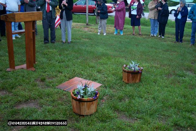 |
The crowd is starting to gather. The small piece of plywood covers the hole where the monument will be placed. |
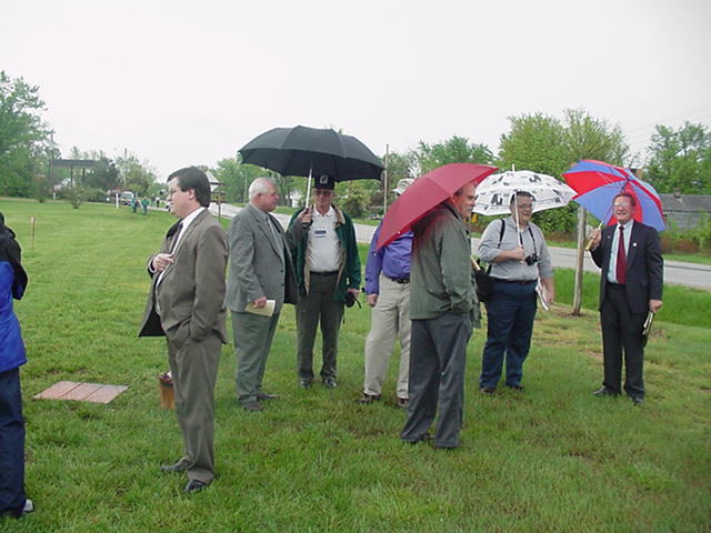 |
Me before the event. (The left facing dummy without an umbrella.) |
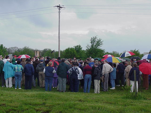 |
The crowd watching the event. |
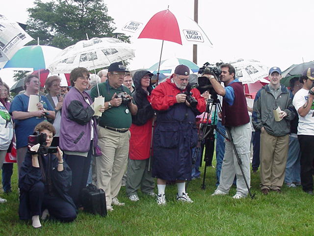 |
Photographers and a Census Bureau video staff were on hand to capture the event. |
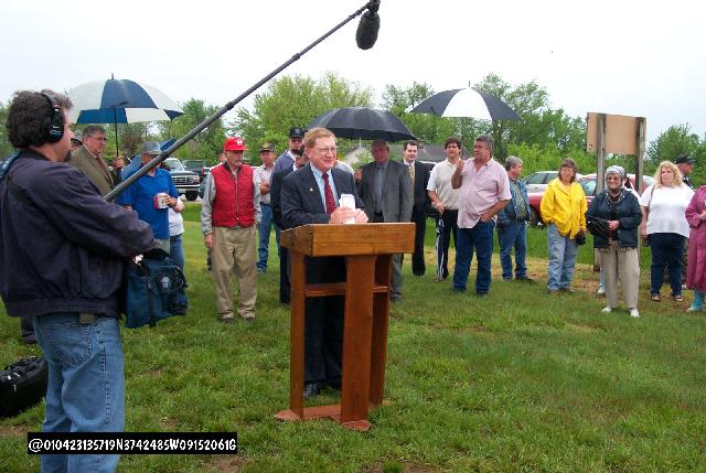 |
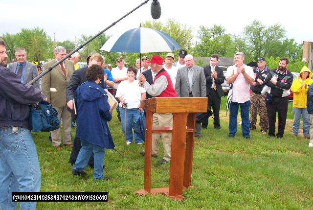
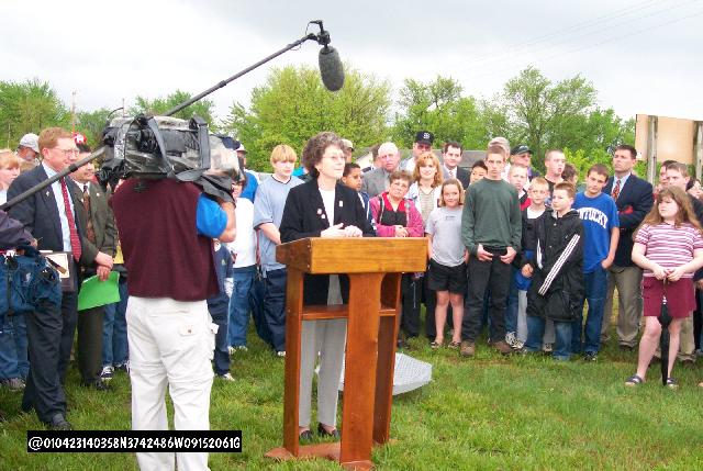
Randy Verkamp, Presiding Commissioner of Phelps County, welcomes the crowd that braved a wet
spring day in the Ozarks to attend the event. |
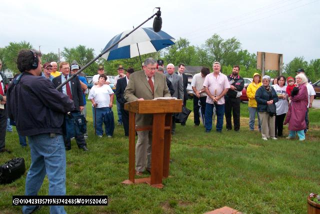 |
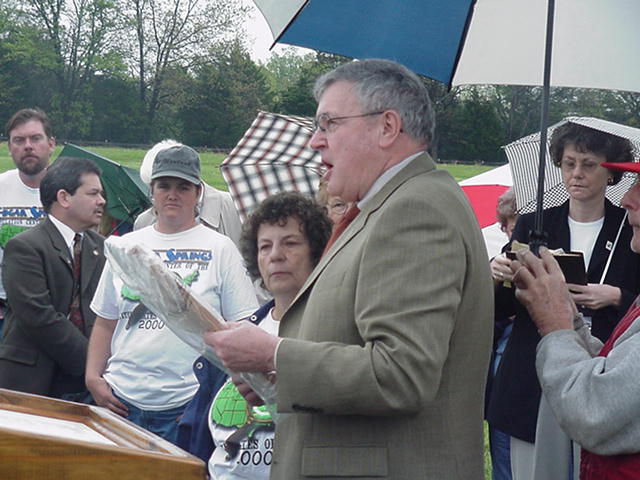
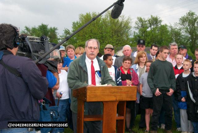
The Honorable Bob May, Missouri State Representative 149th District reads the Missouri House proclamation. |
 |
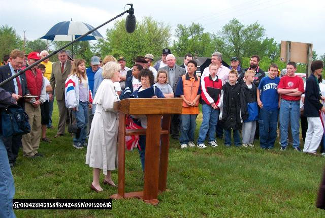
Representative May presenting the proclamation to Caroline Dunham. Ms Dunham is a life long resident of
Edgar Springs and the offical town representative for the ceremony. |
 |
Mr. Verkamp presents a county proclamation to Ms. Dunham. |
 |
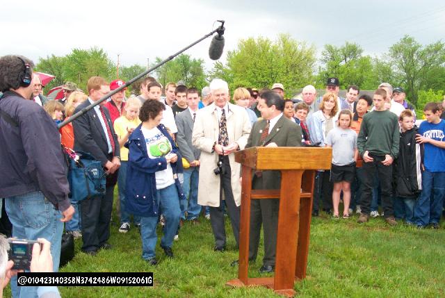
A representative of U.S. Representative Jo Ann Emerson's office makes a presentation to Ms. Dunham. This representative is the former mayor of De Soto, MO
and represented the town during the Center of Population Ceremony in 1981. She also attended the Steeleville, MO
ceremony after the 1990 Census. |
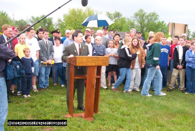 |
Regional Director Henry Palacios addresses the crowd just after the arrival of the school children who braved
the weather to attend. |
 |
Fred Broome from Geography Division/HQ and Mr. Palacios present Ms. Dunham with a smaller version of the plaque. |
 |
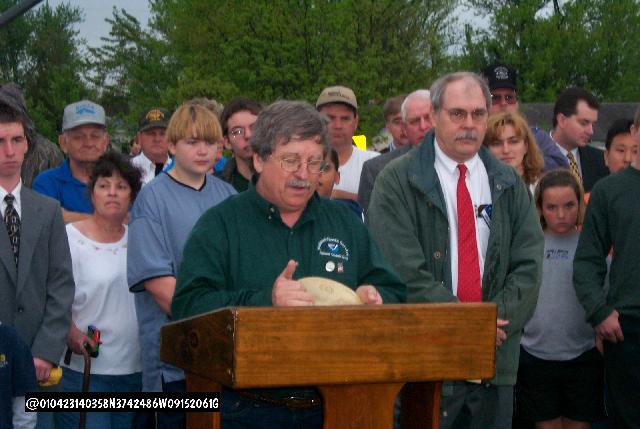
Ms. Mimi Garstang, Director, Division of Geology and Land Survey |
 |
Mike Flowers, State Land Surveyor |
 |
David Doyle, Chief Geodesist, National Geodetic Survey, Washington, DC attending his third such event
holds the Center of Population Marker. |
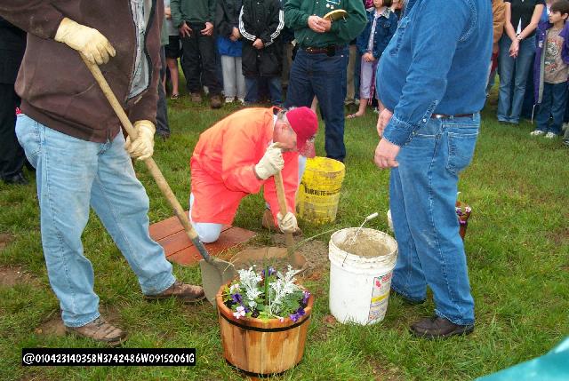 |
The county crew preparing the concrete. |
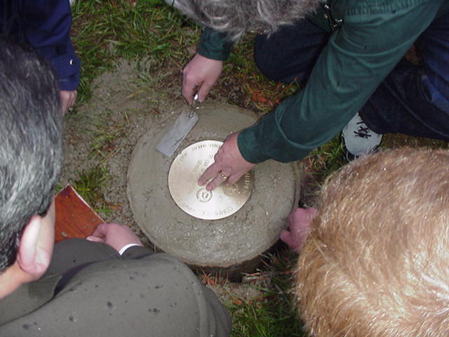 |
Ms. Dunham, Mr. Verkamp, Mr. Doyle, and Mr. Palacios set the plaque. |
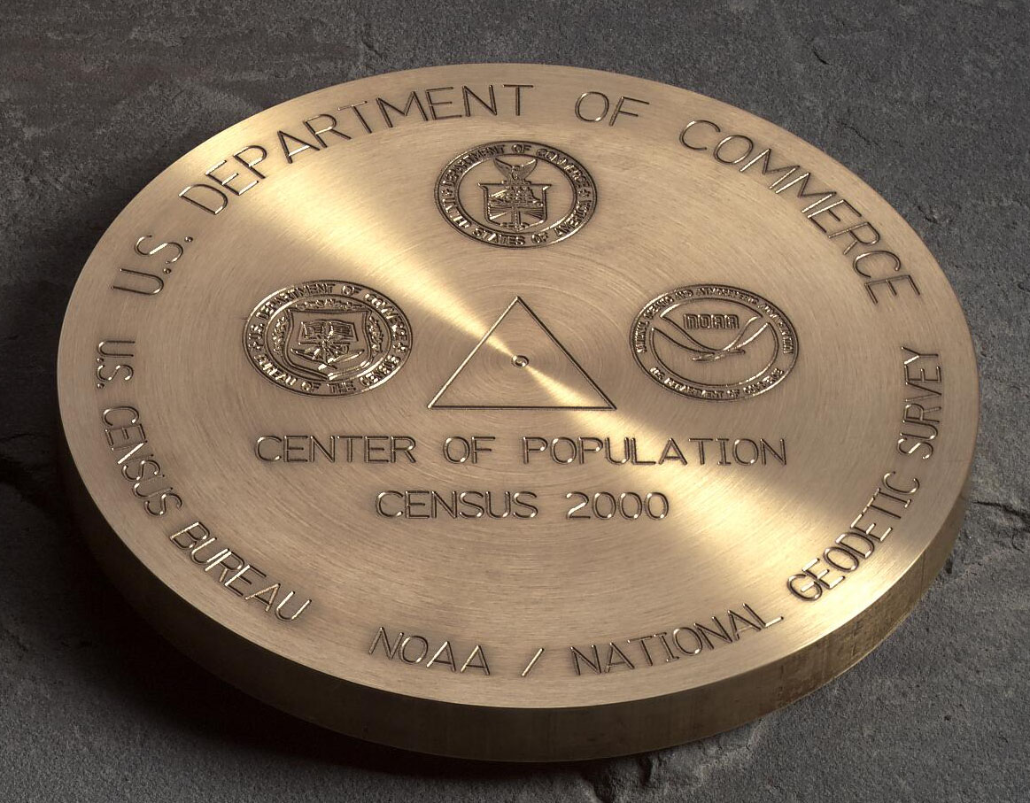 |
A view of the plaque. |
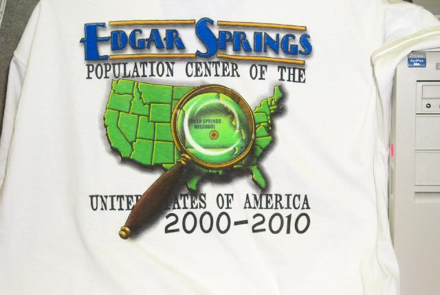 |
T-shirts were sold during the event to help raise money to build a more formal monument site. |
| |
| |
|
|
| |
| |
Population and Coordinates of County Population Centers |
Population and Coordinates of Census Tract Population Centers |
Click here to see a short video of the event. |
Email me your thoughts!
|