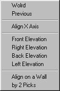
UCS
|
Sets the UCS to the World Coordinate System |
| Restores the previous UCS | |
| Align X Axis on a straight edge | |
| Rotates UCS to Front elevation | |
| Rotates UCS to Right elevation | |
| Rotates UCS to Back elevation | |
| Rotates UCS to Left elevation | |
| Aligns UCS on a vertical wall face | |
| Specifies the new UCS by picking one straight line (or edge) and another point |
| 1. World | Command: UCS W |
| 2. Previous | Command: UCS P |
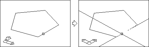
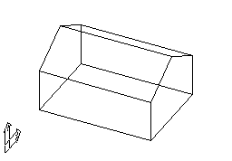
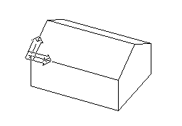
3. Align X Axis
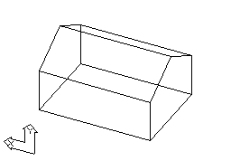
| 4. Front Elevation | 5. Right Elevation |
 |
 |
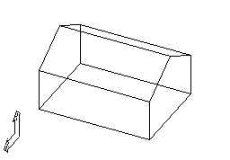
| 6. Back Elevation | 7. Left Elevation |
 |
 |
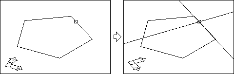
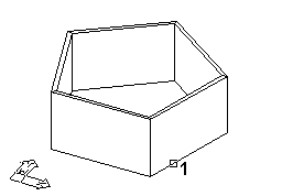
8. Align on a straight wall
![]()
(if ucsicon is set to origin)
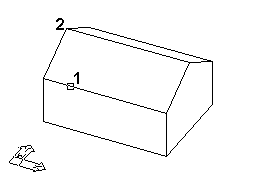
9. by 2 Picks
![]()
(if ucsicon is set to origin)
< back / arch3d / acadmaster >