 The
gas pipe network which runs in front of an office building on the left,
the pink building and computer control center on the right.
The
gas pipe network which runs in front of an office building on the left,
the pink building and computer control center on the right.
| Members Gallery |
These pictures were take in the winter of 1998.
The
gas pipe network which runs in front of an office building on the left,
the pink building and computer control center on the right.
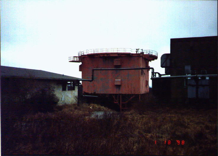
 The
main colony of buildings with the computer control center on the left,
radar tower in the background,and an electrical powerhouse made to look
like an actual house on the right.
The
main colony of buildings with the computer control center on the left,
radar tower in the background,and an electrical powerhouse made to look
like an actual house on the right.
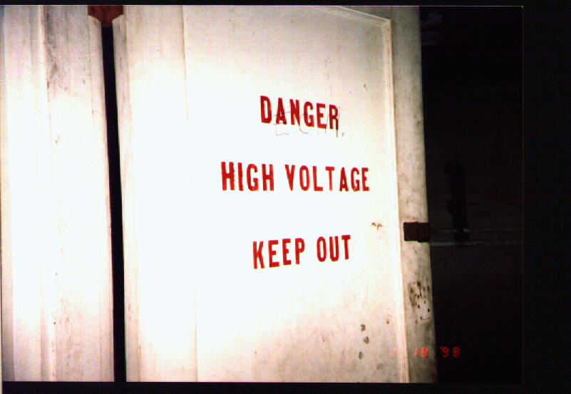 Doors
of the electrical powerhouse.
Doors
of the electrical powerhouse.
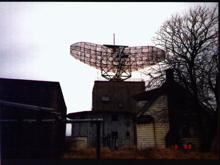
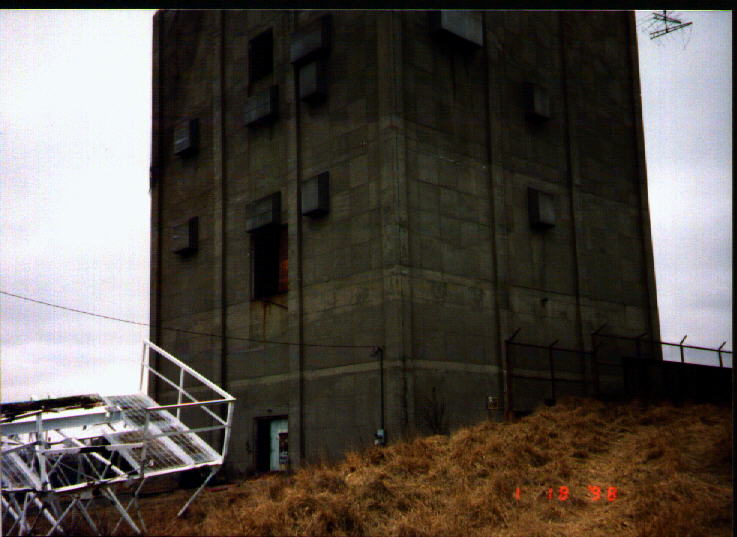
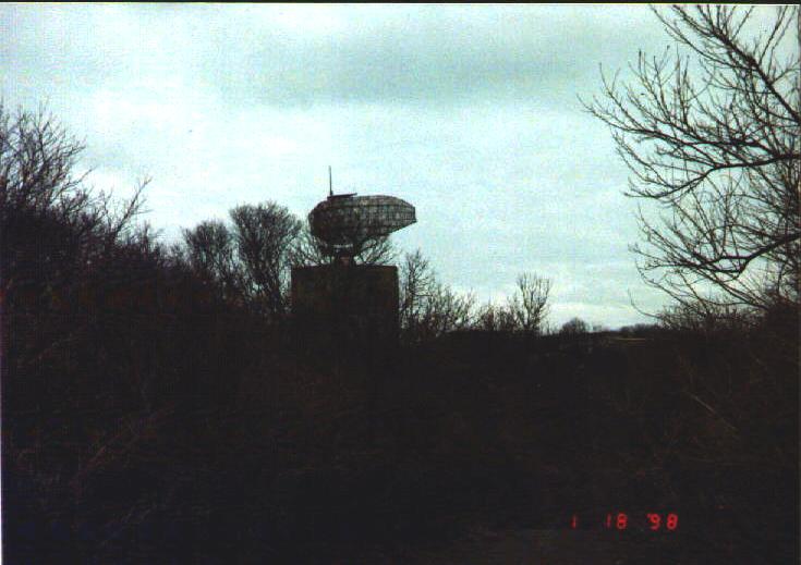
 The
radar tower. Structure on the ground is an "emitter", like the one presently
attached to the radar dish.
The
radar tower. Structure on the ground is an "emitter", like the one presently
attached to the radar dish.
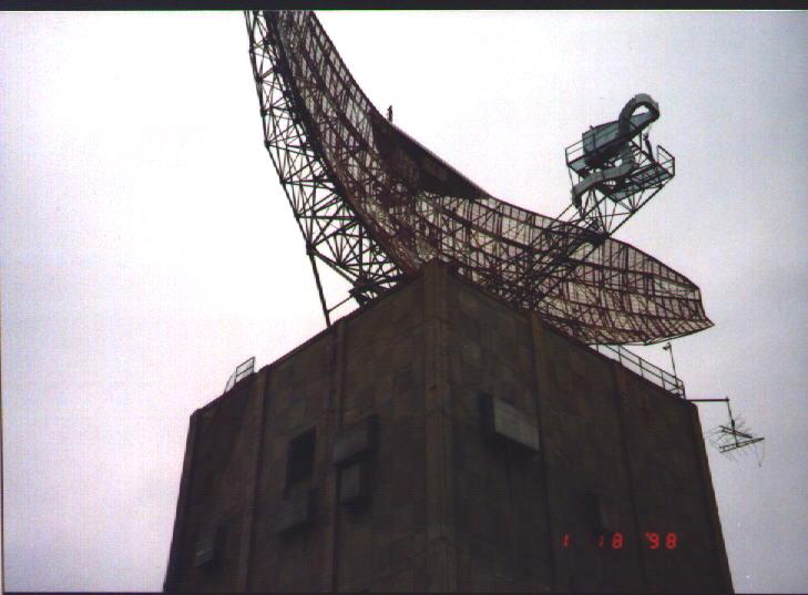
 Same
as above.
Same
as above.
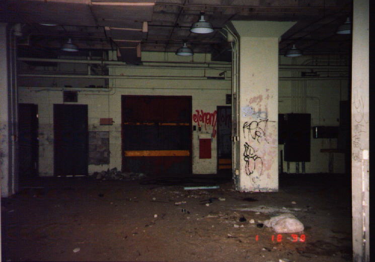 Ground
floor of the radar tower. Straight ahead is the elevator, just to right
- behind the pillar are the stairs.
Ground
floor of the radar tower. Straight ahead is the elevator, just to right
- behind the pillar are the stairs.
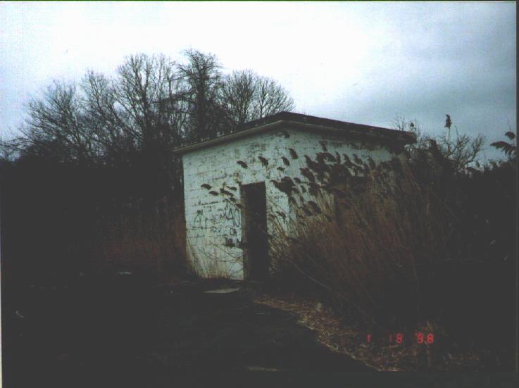 Cubival
building cantaining a water hydrant.
Cubival
building cantaining a water hydrant.
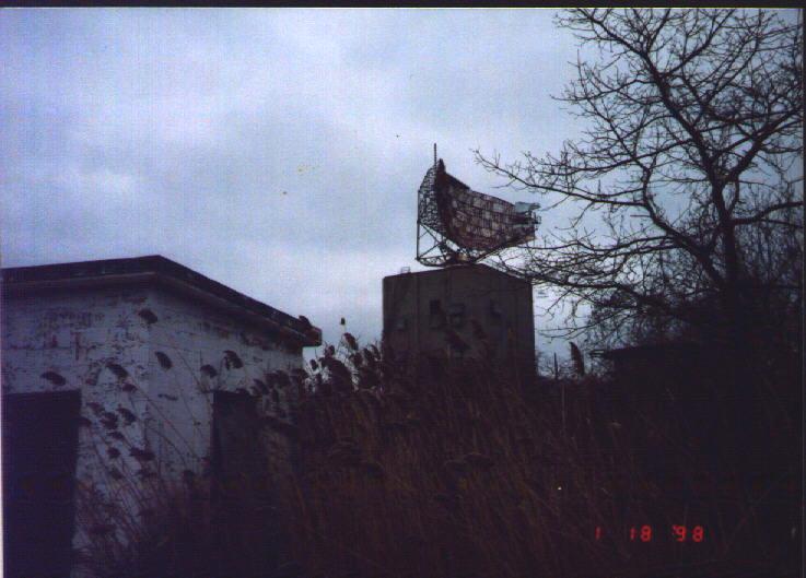 Shows
the proximity of the building to the radar tower.
Shows
the proximity of the building to the radar tower.
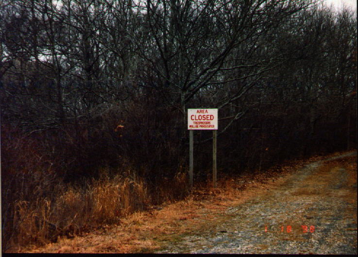 A
sign on one of the roads whose advice should be needed!
A
sign on one of the roads whose advice should be needed!
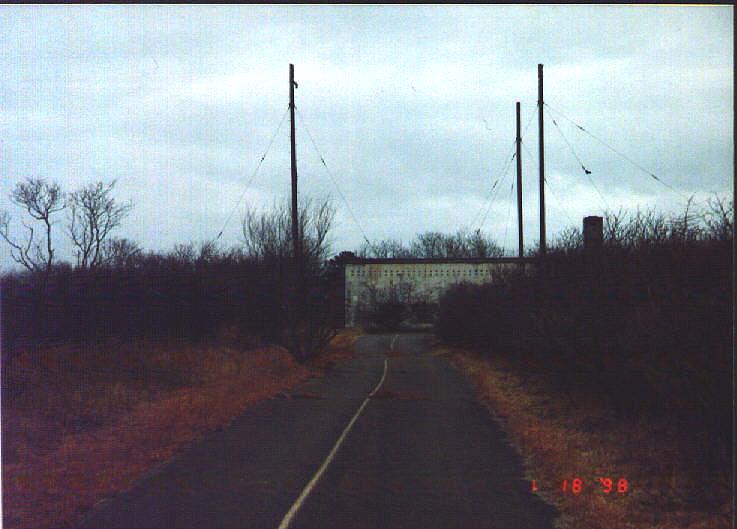 Entrance
road to the radio communications building.
Entrance
road to the radio communications building.
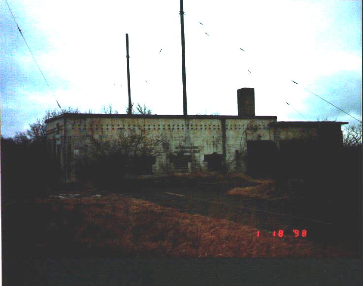 The
radio communications building
The
radio communications building
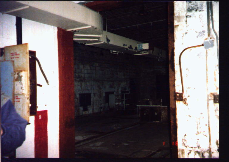 Inside
the radio building
Inside
the radio building
 The
tower seen from the radio communications building
The
tower seen from the radio communications building
End
of the paved roads of the base on the southern edge looking back toward
the base
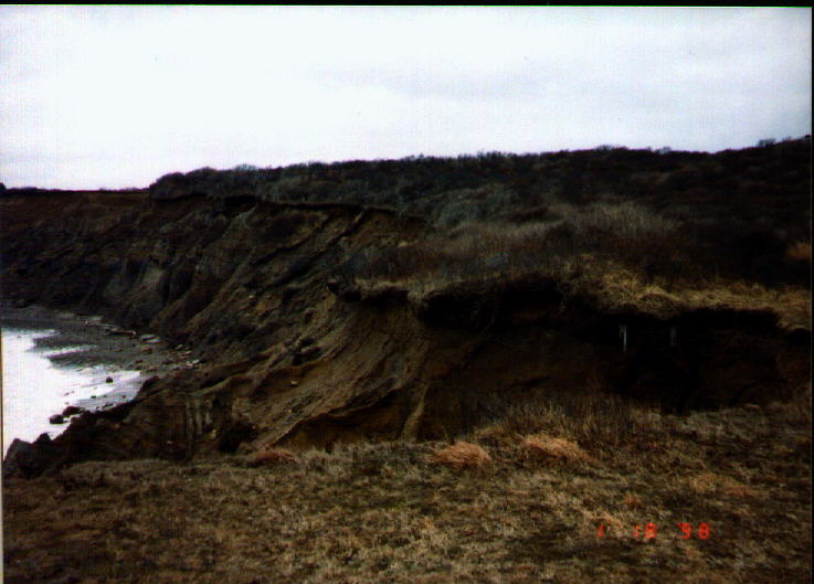 The
cliffs of Montauk, while the photos don't do them justice, they are over
30 ft high
The
cliffs of Montauk, while the photos don't do them justice, they are over
30 ft high
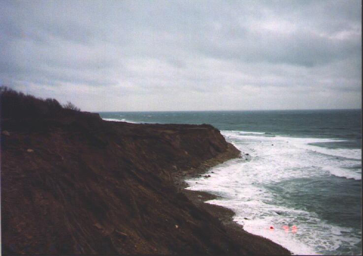 The
cliffs looking east out at the Atlantic Ocean
The
cliffs looking east out at the Atlantic Ocean
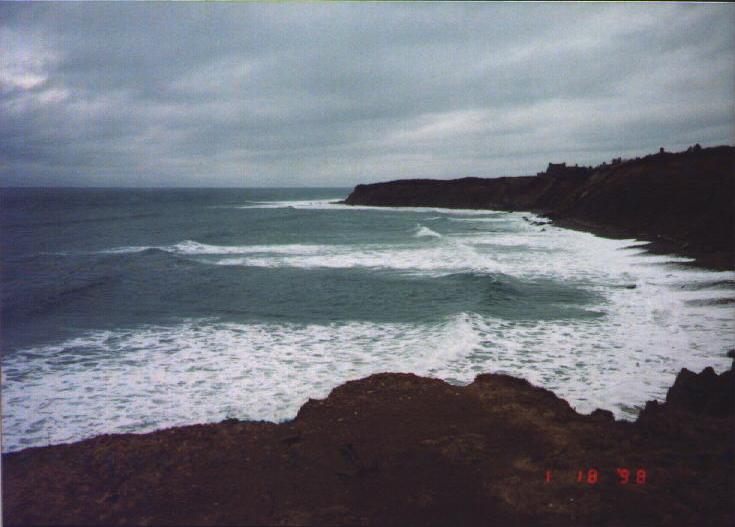 The
cliffs looking southwest
The
cliffs looking southwest
| Back to gallery 2 Home Back to gallery 1 |